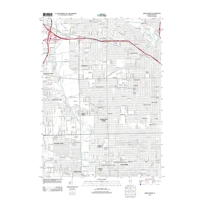
2012 Map of River Forest
USGS Topo · Published 2012About this map
The Des Plaines River and N Br Chicago River frame a densely developed suburban landscape on the western edge of Chicago. This 2012 survey highlights the profound genealogical value of the region’s massive memorial grounds, including the Westlawn Jewish Cem, Acacia Park Cem, and Union Ridge Cem. These sites, along with others like Eden Memorial Park Cem, form a significant greenbelt amidst the tight residential grids of Norridge and Elmwood Park.
Find a feature on this map
134 named features on this map. Tap any name to fly to it.
Don’t see what you’re looking for? This feature index may not catch every label — zoom into the map to look around manually.
Map Details
Editions of this 2012 River Forest Map
This is the sole edition of this map. No revisions or reprints were ever made.
Other maps of this area

1889 · Chicago
USGS Topo · 1:62,500

1891 · Chicago
USGS Topo · 1:62,500

1891 · Riverside
USGS Topo · 1:62,500

1893 · Riverside
USGS Topo · 1:62,500

1899 · Evanston
USGS Topo · 1:62,500

1900 · Chicago
USGS Topo · 1:62,500

1900 · Riverside
USGS Topo · 1:62,500

1900 · Highwood
USGS Topo · 1:62,500

1901 · Riverside
USGS Topo · 1:62,500

1901 · Chicago
USGS Topo · 1:62,500