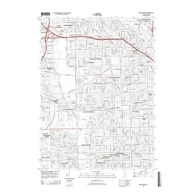
2015 Map of River Forest
USGS Topo · Published 2015About this map
Samuel A Rothermel Houses and the Edmund F Burton Row Houses anchor the residential landscape of this Cook County survey, highlighting the distinct architectural heritage of Oak Park and River Forest. The corridor follows the winding course of the Des Plaines River, which separates the urban grid of Chicago from western suburbs like River Grove and Franklin Park. This map reveals an extraordinary concentration of cultural and religious institutions, ranging from Dominican University and Concordia University to a vast network of memorial grounds including Westlawn Jewish Cemetery and Saint Joseph Cemetery. Educational landmarks such as Triton College and the Wilbur Wright College campus illustrate the area's development as a regional hub for higher learning. From the legendary Whiskey Point to the shores of Schiller Pond, the map documents a densely populated metropolitan area balanced by significant institutional and open-space tracts.
Find a feature on this map
79 named features on this map. Tap any name to fly to it.
Don’t see what you’re looking for? This feature index may not catch every label — zoom into the map to look around manually.
Map Details
Editions of this 2015 River Forest Map
This is the sole edition of this map. No revisions or reprints were ever made.
Other maps of this area

1889 · Chicago
USGS Topo · 1:62,500

1891 · Chicago
USGS Topo · 1:62,500

1891 · Riverside
USGS Topo · 1:62,500

1893 · Riverside
USGS Topo · 1:62,500

1899 · Evanston
USGS Topo · 1:62,500

1900 · Chicago
USGS Topo · 1:62,500

1900 · Riverside
USGS Topo · 1:62,500

1900 · Highwood
USGS Topo · 1:62,500

1901 · Riverside
USGS Topo · 1:62,500

1901 · Chicago
USGS Topo · 1:62,500