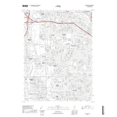
2018 Map of River Forest
USGS Topo · Published 2018About this map
The Des Plaines River and North Branch Chicago River define the hydraulic landscape of this densely developed corridor northwest of Chicago. This 2018 survey reveals a striking concentration of memorial grounds and educational institutions interspersed among established residential grids. Large tracts are dedicated to sites like Saint Joseph Catholic Cem and Mausoleums, Elmwood Cem, and Acacia Park Cem, while academic life is centered at Dominican Univ, Concordia Univ Chicago, and Triton College. The map captures the tight integration of transport and community across several distinct municipalities including River Forest, Oak Park, and Park Ridge. From the Illinois Prairie Path to the neighborhood streets of Melrose Park and Elmwood Park, the layout reflects a century of suburban growth and institutional preservation.
Find a feature on this map
68 named features on this map. Tap any name to fly to it.
Don’t see what you’re looking for? This feature index may not catch every label — zoom into the map to look around manually.
Map Details
Editions of this 2018 River Forest Map
This is the sole edition of this map. No revisions or reprints were ever made.
Other maps of this area

1889 · Chicago
USGS Topo · 1:62,500

1891 · Chicago
USGS Topo · 1:62,500

1891 · Riverside
USGS Topo · 1:62,500

1893 · Riverside
USGS Topo · 1:62,500

1899 · Evanston
USGS Topo · 1:62,500

1900 · Chicago
USGS Topo · 1:62,500

1900 · Riverside
USGS Topo · 1:62,500

1900 · Highwood
USGS Topo · 1:62,500

1901 · Riverside
USGS Topo · 1:62,500

1901 · Chicago
USGS Topo · 1:62,500