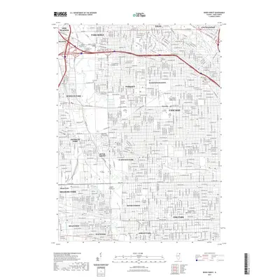
2021 Map of River Forest
USGS Topo · Published 2021About this map
The Des Plaines River carves through a dense corridor of Cook County suburbs, defining the western boundaries of River Grove and Schiller Park. This landscape is particularly notable for its high concentration of large cemetery grounds and educational institutions. From the Westlawn Cem and Acacia Park Cem in Norridge, to the expansive Saint Joseph Catholic Cem further south, these sites preserve significant open space within the urban grid.
Find a feature on this map
55 named features on this map. Tap any name to fly to it.
Don’t see what you’re looking for? This feature index may not catch every label — zoom into the map to look around manually.
Map Details
Editions of this 2021 River Forest Map
This is the sole edition of this map. No revisions or reprints were ever made.
Other maps of this area

1889 · Chicago
USGS Topo · 1:62,500

1891 · Chicago
USGS Topo · 1:62,500

1891 · Riverside
USGS Topo · 1:62,500

1893 · Riverside
USGS Topo · 1:62,500

1899 · Evanston
USGS Topo · 1:62,500

1900 · Chicago
USGS Topo · 1:62,500

1900 · Riverside
USGS Topo · 1:62,500

1900 · Highwood
USGS Topo · 1:62,500

1901 · Riverside
USGS Topo · 1:62,500

1901 · Chicago
USGS Topo · 1:62,500