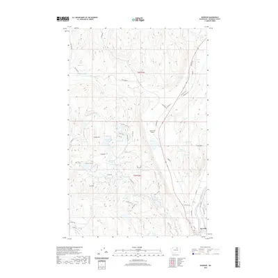
2020 Map of Riverside
USGS Topo · Published 2020About this map
Riverside sits at the southeastern bend of the Okanogan River, serving as a focal point for this high-desert landscape in North Central Washington. The map highlights a remarkable concentration of small water bodies north of the town, including Medicine Lake, Booher Lake, and the Twin Lakes chain, many accessed by local routes like Seven Lakes Rd. This concentration of surface water within the complex terrain of the Lime Belt and Wagonroad Coulee suggests a unique geological and hydrologic pocket distinct from the drier surrounding heights.
Find a feature on this map
69 named features on this map. Tap any name to fly to it.
Don’t see what you’re looking for? This feature index may not catch every label — zoom into the map to look around manually.
Map Details
Editions of this 2020 Riverside Map
This is the sole edition of this map. No revisions or reprints were ever made.
Other maps of this area

1902 · Osoyoos
USGS Topo · 1:125,000

1904 · Osoyoos
USGS Topo · 1:125,000

1905 · Okanogan
USGS Topo · 1:125,000

1906 · Chopaka
USGS Topo · 1:125,000

1953 · Omak Lake
USGS Topo · 1:62,500

1954 · Okanogan
USGS Topo · 1:250,000

1957 · Okanogan
USGS Topo · 1:62,500

1957 · Conconully
USGS Topo · 1:62,500

1957 · Tonasket
USGS Topo · 1:62,500

1958 · Okanogan
USGS Topo · 1:250,000