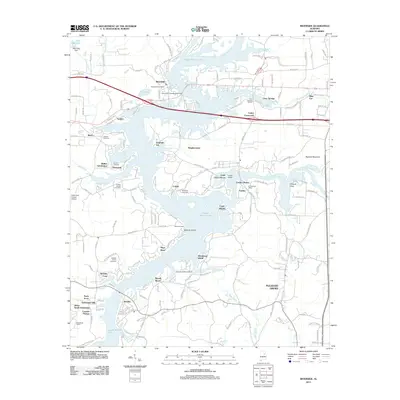
2011 Map of Riverside
USGS Topo · Published 2011About this map
Logan Martin Lake dominates the central landscape of this 2011 survey, its expansive waters surrounding numerous points and islands like England Isle, Capri Islands, and Windsong Island. This artificial reservoir on the Coosa River has shaped the settlement patterns of the region, creating a labyrinth of waterfront communities and subdivisions including Walker Subdivision, Eureka Shores, and Wendy Wood. The map reveals a transition from traditional land-based landmarks like Ragland Mountain to a recreation-oriented economy represented by the Clear Springs Marina and Fishermans Wharf Marina.
Find a feature on this map
80 named features on this map. Tap any name to fly to it.
Don’t see what you’re looking for? This feature index may not catch every label — zoom into the map to look around manually.
Map Details
Editions of this 2011 Riverside Map
This is the sole edition of this map. No revisions or reprints were ever made.
Other maps of this area

1889 · Springville
USGS Topo · 1:125,000

1890 · Talladega
USGS Topo · 1:125,000

1892 · Springville
USGS Topo · 1:125,000

1892 · Talladega
USGS Topo · 1:125,000

1943 · Talladega
USGS Topo · 1:62,500

1946 · Talladega
USGS Topo · 1:62,500

1947 · Eastaboga
USGS Topo · 1:24,000

1947 · Ragland
USGS Topo · 1:62,500

1947 · Ragland
USGS Topo · 1:24,000

1947 · Riverside
USGS Topo · 1:24,000