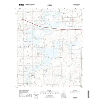
2018 Map of Riverside
USGS Topo · Published 2018About this map
The Coosa River dominates this landscape, its waters sprawling into the wide expanses of Logan Martin Lake where it forms intricate shorelines around England Isles and Ogletree Island. This 2018 survey captures the settled corridors along the river's eastern and western banks, documenting the growth of Pell City and the neighboring communities of Riverside, Lincoln, and Seddon. The map reveals a transport-heavy geography, where the John Hollis Bankhead Bridge and the Eureka Bridge provide vital crossings over the lake. Away from the water, the terrain rises toward Ragland Mtn in the east, while the western edge is marked by the St Clair County Airport. Genealogists will find several small burial sites recorded across the terrain, including Seddon Cem, Mays Cem, and Walkers Family Cem, alongside the Robert Chapel Cem.
Find a feature on this map
166 named features on this map. Tap any name to fly to it.
Don’t see what you’re looking for? This feature index may not catch every label — zoom into the map to look around manually.
Map Details
Editions of this 2018 Riverside Map
This is the sole edition of this map. No revisions or reprints were ever made.
Other maps of this area

1889 · Springville
USGS Topo · 1:125,000

1890 · Talladega
USGS Topo · 1:125,000

1892 · Springville
USGS Topo · 1:125,000

1892 · Talladega
USGS Topo · 1:125,000

1943 · Talladega
USGS Topo · 1:62,500

1946 · Talladega
USGS Topo · 1:62,500

1947 · Eastaboga
USGS Topo · 1:24,000

1947 · Ragland
USGS Topo · 1:62,500

1947 · Ragland
USGS Topo · 1:24,000

1947 · Riverside
USGS Topo · 1:24,000