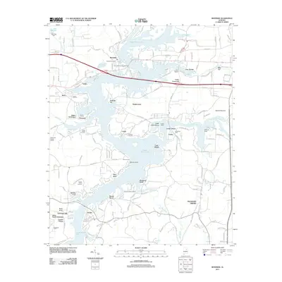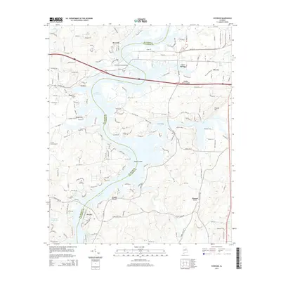
2024 Map of Riverside
USGS Topo · Published 2024About this map
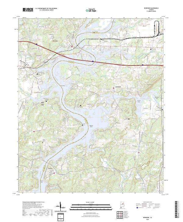
The Coosa River defines the geography of this area on the border of St. Clair and Talladega counties, where the modern waters of Logan Martin Lake have reshaped the valley. The map reveals a landscape heavily influenced by historical river crossings, with labels identifying several former ferry sites including Halls Ferry, Colman Ferry, Truss Ferry, and Buchanan Ferry. These locations point to an era of river-based commerce and travel that predated the current bridge network.
Find a feature on this map
175 named features on this map. Tap any name to fly to it.
Don’t see what you’re looking for? This feature index may not catch every label — zoom into the map to look around manually.
Map Details
Editions of this 2024 Riverside Map
This is the sole edition of this map. No revisions or reprints were ever made.
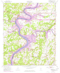
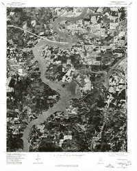
Historical Maps of Pell City Through Time
7 maps found