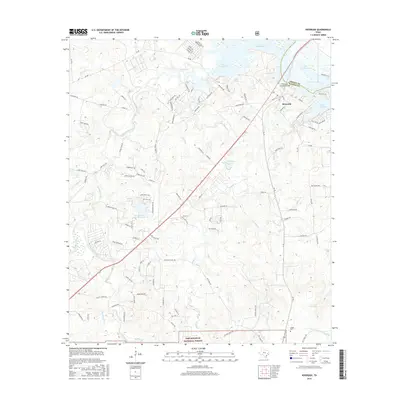
2016 Map of Riverside
USGS Topo · Published 2016About this map
The town of Riverside and the adjacent waters of Lake Livingston dominate this 2016 survey along the border of Trinity and Walker Counties. This modern map captures the developed waterfront and recreational landscape of the region, including residential clusters like Lake Forest and numerous named coves and inlets such as Mud Lake and Caney Cr. The local infrastructure is well-defined, featuring the Riverside School, Riverside Church, and the notable Riverside Swinging Bridge crossing the water.
Find a feature on this map
122 named features on this map. Tap any name to fly to it.
Don’t see what you’re looking for? This feature index may not catch every label — zoom into the map to look around manually.
Map Details
Editions of this 2016 Riverside Map
This is the sole edition of this map. No revisions or reprints were ever made.
Other maps of this area

1954 · Beaumont
USGS Topo · 1:250,000

1957 · Beaumont
USGS Topo · 1:250,000

1960 · Trinity West
USGS Topo · 1:24,000

1960 · Trinity East
USGS Topo · 1:24,000

1960 · Phelps
USGS Topo · 1:24,000

1961 · Staley
USGS Topo · 1:24,000

1961 · Riverside
USGS Topo · 1:24,000

1961 · Oakhurst
USGS Topo · 1:24,000

1962 · Pine Prairie
USGS Topo · 1:24,000

1962 · Wyser Bottom
USGS Topo · 1:24,000