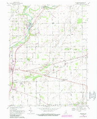
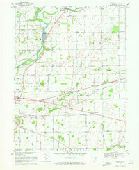
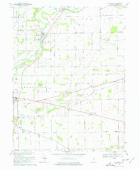
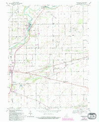
1969 Map of Riverwood
USGS Topo · Published 1988About this map
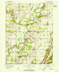
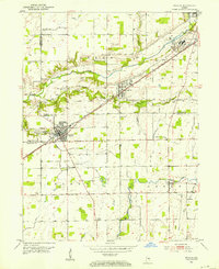
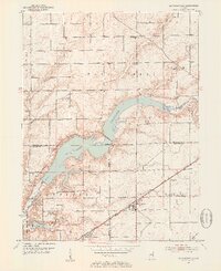
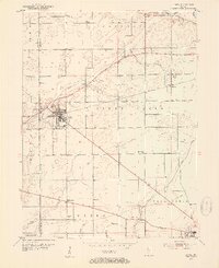
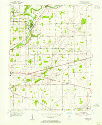
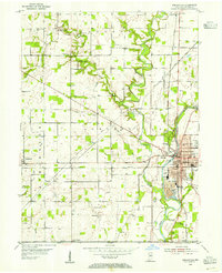
White River meanders through this portion of Hamilton County, shaping the landscape near the settlements of Strawtown and Riverwood. This mid-century survey reveals a transition from traditional rural agriculture to modern mid-century infrastructure. The presence of the County Home and several small rural congregations, such as Victory Chapel and Prairie Ch, suggests a well-established community fabric. Transportation patterns are defined by a grid of named roads like Cumberland Road and Overdorf Road, punctuated by small local hubs like Durbin.
Find a feature on this map
70 named features on this map. Tap any name to fly to it.
Don’t see what you’re looking for? This feature index may not catch every label — zoom into the map to look around manually.
Map Details
Editions of this 1969 Riverwood Map
4 editions found
Other maps of this area
1952 · Fishers
USGS Topo · 1:24,000
1952 · Ingalls
USGS Topo · 1:24,000
1952 · Mc Cordsville
USGS Topo · 1:24,000
1953 · Lapel
USGS Topo · 1:24,000
1953 · Riverwood
USGS Topo · 1:24,000
1953 · Noblesville
USGS Topo · 1:24,000

1953 · Cincinnati
USGS Topo · 1:250,000

1953 · Danville
USGS Topo · 1:250,000

1953 · Indianapolis
USGS Topo · 1:250,000

1953 · Muncie
USGS Topo · 1:250,000