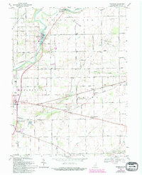
1969 Map of Riverwood
USGS Topo · Published 1994About this map
The White River defines the western landscape of this Hamilton County region, where the town of Riverwood and the smaller community of Clare sit at a sharp bend in the channel. Infrastructure supporting the local economy is prominent, including a Powerplant, several Substations, and a Gaging Sta along the riverbank. This area preserves a transition between the established streets of Noblesville to the southwest and the dispersed agricultural settlements of Strawtown, Durbin, and Clarksville.
Find a feature on this map
71 named features on this map. Tap any name to fly to it.
Don’t see what you’re looking for? This feature index may not catch every label — zoom into the map to look around manually.
Map Details
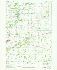
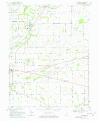
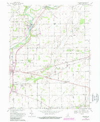
Editions of this 1969 Riverwood Map
4 editions found
Other maps of this area

1952 · Fishers
USGS Topo · 1:24,000

1952 · Ingalls
USGS Topo · 1:24,000

1952 · Mc Cordsville
USGS Topo · 1:24,000

1953 · Lapel
USGS Topo · 1:24,000

1953 · Riverwood
USGS Topo · 1:24,000

1953 · Noblesville
USGS Topo · 1:24,000

1953 · Cincinnati
USGS Topo · 1:250,000

1953 · Danville
USGS Topo · 1:250,000

1953 · Indianapolis
USGS Topo · 1:250,000

1953 · Muncie
USGS Topo · 1:250,000