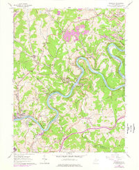
1960 Map of Rivesville
USGS Topo · Published 1978About this map
Monongahela River coal production and river navigation define the landscape of northern Marion and southern Monongalia counties. This survey, updated in the late 1970s, captures the industrial character of Rivesville and Montana, where numerous mines and coal-handling facilities line the riverbanks. The Baltimore and Ohio railroad follows the winding river course, passing industrial hubs like Edna, Jordan, and Lowsville.
Find a feature on this map
77 named features on this map. Tap any name to fly to it.
Don’t see what you’re looking for? This feature index may not catch every label — zoom into the map to look around manually.
Map Details
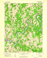
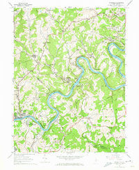
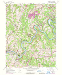
Editions of this 1960 Rivesville Map
4 editions found
Other maps of this area

1886 · St. George
USGS Topo · 1:125,000

1891 · St. George
USGS Topo · 1:125,000

1902 · Fairmont
USGS Topo · 1:62,500

1902 · Morgantown
USGS Topo · 1:62,500

1904 · Blacksville
USGS Topo · 1:62,500

1907 · Thornton
USGS Topo · 1:62,500

1923 · Blacksville
USGS Topo · 1:62,500

1923 · Fairmont
USGS Topo · 1:62,500

1925 · Blacksville
USGS Topo · 1:62,500

1925 · Morgantown
USGS Topo · 1:62,500