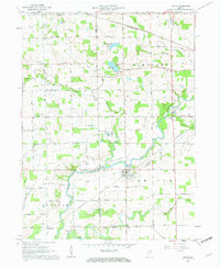
1961 Map of Roann
USGS Topo · Published 1963About this map
The Eel River winds through the heart of this landscape, defining the rural character of northern Indiana at the dawn of the 1960s. The settlement of Roann serves as a primary hub, complete with its iconic Covered Bridge and proximity to the smaller community of Stockdale. This area, split by the Miami and Wabash County line, is marked by a high density of family and community burial grounds, including the Roann Cem, Niconza Cem, and Finley Cem, which offer significant value for genealogical research. The landscape is also dotted with glacial features such as Lukens Lake and McColley Lake, while the local economy is evidenced by numerous Sand and Gravel Pits and the path of the Pennsylvania railroad. Rural social centers are well-represented by several country churches like the Olive Branch Ch and Niconza Ch.
Find a feature on this map
44 named features on this map. Tap any name to fly to it.
Don’t see what you’re looking for? This feature index may not catch every label — zoom into the map to look around manually.
Map Details
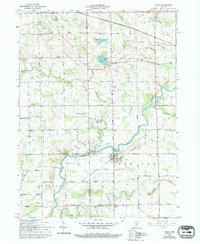
Editions of this 1961 Roann Map
3 editions found

Other maps of this area

1951 · Peru
USGS Topo · 1:24,000

1951 · Richvalley
USGS Topo · 1:24,000

1952 · Wabash
USGS Topo · 1:24,000

1953 · Fort Wayne
USGS Topo · 1:250,000

1953 · Chicago
USGS Topo · 1:250,000

1953 · Danville
USGS Topo · 1:250,000

1953 · Muncie
USGS Topo · 1:250,000

1955 · Danville
USGS Topo · 1:250,000

1956 · Muncie
USGS Topo · 1:250,000

1956 · Danville
USGS Topo · 1:250,000