
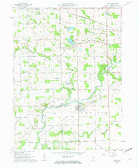
1961 Map of Roann
USGS Topo · Published 1963About this map
The Eel River winds through this 1961 landscape, anchoring a rural community defined by small agricultural hamlets and a robust network of early transportation routes. In the town of Roann, a Covered Bridge spans the river, serving as a focal point for a region where the Erie-Lackawanna and Pennsylvania railroads once facilitated the movement of goods and people. The map illustrates a dense distribution of family-named landmarks and local institutions, such as Emmanuel Ch and Niconza Ch, which hint at the social fabric of the mid-century Midwest.
Find a feature on this map
48 named features on this map. Tap any name to fly to it.
Don’t see what you’re looking for? This feature index may not catch every label — zoom into the map to look around manually.
Map Details
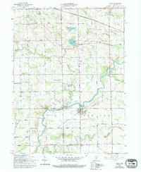
Editions of this 1961 Roann Map
3 editions found
Other maps of this area

1951 · Peru
USGS Topo · 1:24,000

1951 · Richvalley
USGS Topo · 1:24,000

1952 · Wabash
USGS Topo · 1:24,000

1953 · Fort Wayne
USGS Topo · 1:250,000

1953 · Chicago
USGS Topo · 1:250,000

1953 · Danville
USGS Topo · 1:250,000

1953 · Muncie
USGS Topo · 1:250,000

1955 · Danville
USGS Topo · 1:250,000

1956 · Muncie
USGS Topo · 1:250,000

1956 · Danville
USGS Topo · 1:250,000