
1929 Map of Roanoke
USGS Topo · Published 1929About this map
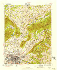
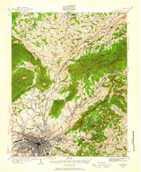
Roanoke city and its surrounding valley floor are captured here during a period of significant growth at the end of the 1920s. The survey detailed by Albert Pike and his team illustrates a landscape defined by its network of rural community centers like Lithia, Hollins, and Bonsack, each serving as focal points for the nearby agricultural and residential areas. The industrial and infrastructure development of the era is evident in the presence of the Roanoke Reservoir and the emerging street grids of Vinton and Riverdale.
Find a feature on this map
36 named features on this map. Tap any name to fly to it.
Don’t see what you’re looking for? This feature index may not catch every label — zoom into the map to look around manually.
Map Details
Editions of this 1929 Roanoke Map
3 editions found
Other maps of this area

1887 · Lewisburg
USGS Topo · 1:125,000

1890 · Roanoke
USGS Topo · 1:125,000

1890 · Christiansburg
USGS Topo · 1:125,000

1891 · Roanoke
USGS Topo · 1:125,000

1891 · Lewisburg
USGS Topo · 1:125,000

1894 · Natural Bridge
USGS Topo · 1:125,000

1894 · Natural Bridge
USGS Topo · 1:62,500

1907 · Natural Bridge Special
USGS Topo · 1:62,500

1913 · Eagle Rock
USGS Topo · 1:48,000

1915 · Eagle Rock
USGS Topo · 1:62,500