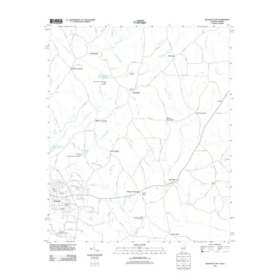
2011 Map of Roanoke East
USGS Topo · Published 2011About this map
Wehadkee Creek and its many tributaries, including Vineyard Branch and Hornyhead Branch, dominate the landscape east of the city of Roanoke. This 2011 survey illustrates a region defined by scattered crossroads settlements such as Taylors Crossroads, White Crossroads, and Moores Crossroads, which serve as nodes in a rural network of county roads. The topography is marked by several significant water management features, including the Highpine Creek Watershed Dam Number 1 and Rice Dam, reflecting the importance of water control in the rolling terrain of eastern Randolph County. Local history is anchored by numerous spiritual and memorial sites, from the Salem Primitive Baptist Church Cemetery to Center Chapel. Near the city center, researchers can identify the Roanoke Post Office and Roanoke Municipal Airport, while the northern reaches of the quadrangle feature the natural drop of High Shoals Falls.
Find a feature on this map
115 named features on this map. Tap any name to fly to it.
Don’t see what you’re looking for? This feature index may not catch every label — zoom into the map to look around manually.
Map Details
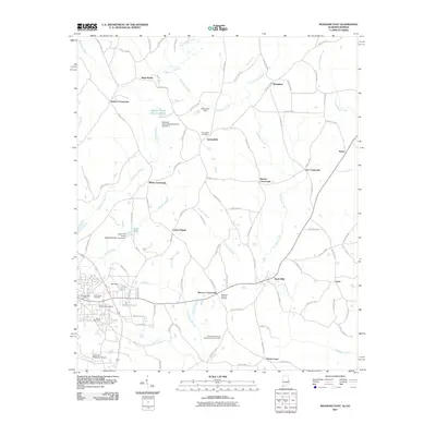
Editions of this 2011 Roanoke East Map
2 editions found
Other maps of this area

1899 · Wedowee
USGS Topo · 1:125,000

1902 · Wedowee
USGS Topo · 1:125,000

1953 · Atlanta
USGS Topo · 1:250,000

1957 · Atlanta
USGS Topo · 1:250,000

1958 · Atlanta
USGS Topo · 1:250,000
1964 · Abbottsford
USGS Topo · 1:24,000

1964 · Glenn
USGS Topo · 1:24,000
1964 · Frolona
USGS Topo · 1:24,000
1968 · Five Points
USGS Topo · 1:24,000
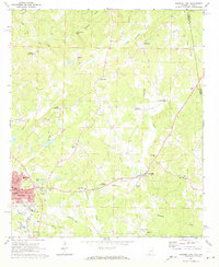
1969 · Roanoke East
USGS Topo · 1:24,000