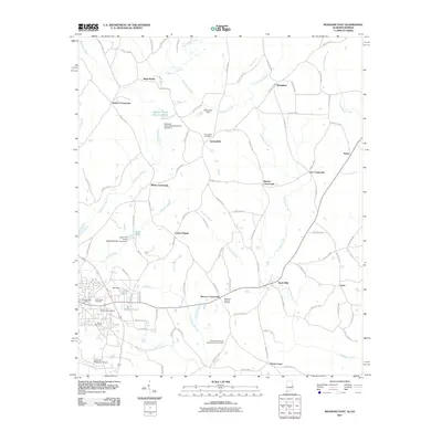
2011 Map of Roanoke East
USGS Topo · Published 2011About this map
Rock Mills and Bacon Level anchor the eastern landscape of this Randolph County region, where the network of county roads connects numerous small crossroads communities. The terrain is defined by the winding course of Wehadkee Creek and its many tributaries, including Little Wehadkee Creek and Hornyhead Branch. Water management is a visible priority across the quadrangle, evidenced by the Schuessler Dam, Rice Dam, and the series of reservoirs known as Highpine Creek Lake Number 1 and its associated watershed dams.
Find a feature on this map
101 named features on this map. Tap any name to fly to it.
Don’t see what you’re looking for? This feature index may not catch every label — zoom into the map to look around manually.
Map Details
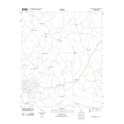
Editions of this 2011 Roanoke East Map
2 editions found
Other maps of this area

1899 · Wedowee
USGS Topo · 1:125,000

1902 · Wedowee
USGS Topo · 1:125,000

1953 · Atlanta
USGS Topo · 1:250,000

1957 · Atlanta
USGS Topo · 1:250,000

1958 · Atlanta
USGS Topo · 1:250,000
1964 · Abbottsford
USGS Topo · 1:24,000

1964 · Glenn
USGS Topo · 1:24,000
1964 · Frolona
USGS Topo · 1:24,000
1968 · Five Points
USGS Topo · 1:24,000
1969 · Roanoke East
USGS Topo · 1:24,000