2024 Map of Roanoke East
USGS Topo · Published 2024About this map
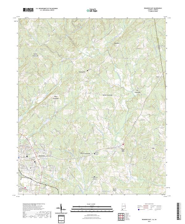
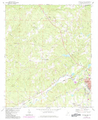
Roanoke serves as the primary hub for this corner of Randolph County, Alabama, where the landscape transitions into the rolling terrain near the Georgia state line. The map reveals a dense network of crossroads communities that define the local geography, including Taylors Crossroads, White Crossroads, and Lee Crossroads. These small settlements, often anchored by historic family names, illustrate a traditional rural development pattern where local trade and social life centered on these specific intersections.
Find a feature on this map
137 named features on this map. Tap any name to fly to it.
Don’t see what you’re looking for? This feature index may not catch every label — zoom into the map to look around manually.
Map Details
Editions of this 2024 Roanoke East Map
This is the sole edition of this map. No revisions or reprints were ever made.
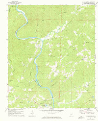
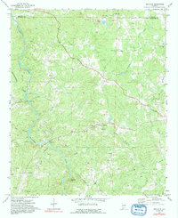
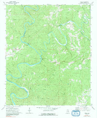
Historical Maps of Bacon Level Through Time
16 maps found
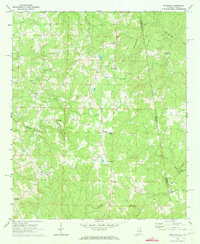
1969 Napoleon
Randolph County, AL
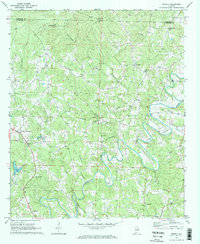
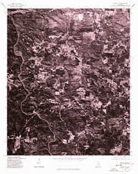
1969 Newell
Randolph County, AL
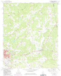
1969 Roanoke East
Randolph County, AL
1969 Roanoke West
Randolph County, AL
1969 Wadley North
Randolph County, AL
1970 Micaville
Randolph County, AL
1970 Ofelia
Randolph County, AL
1975 Micaville
Randolph County, AL
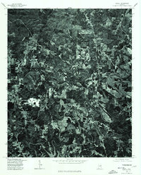
1975 Newell
Randolph County, AL
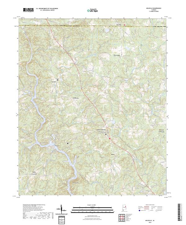
2024 Micaville
Randolph County, AL
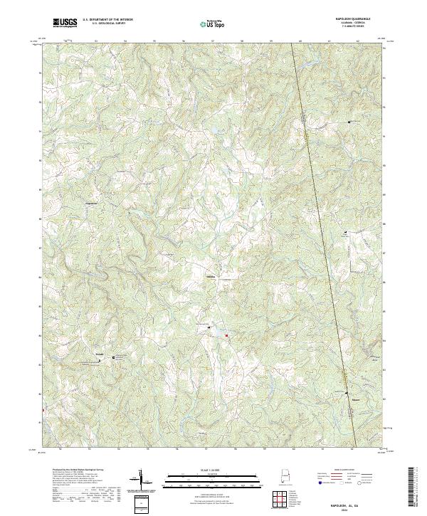
2024 Napoleon
Randolph County, AL
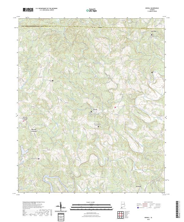
2024 Newell
Randolph County, AL
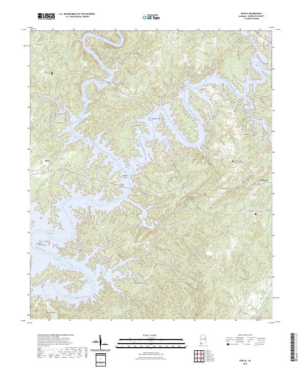
2024 Ofelia
Randolph County, AL
2024 Roanoke East
Randolph County, AL
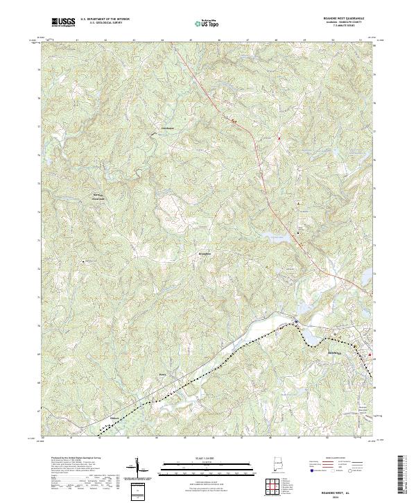
2024 Roanoke West
Randolph County, AL
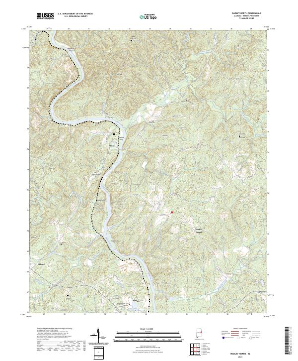
2024 Wadley North
Randolph County, AL