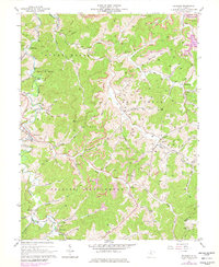
1966 Map of Roanoke
USGS Topo · Published 1979About this map
The West Fk River and its numerous tributaries, including Wolf Creek and Skin Creek, define this central West Virginia landscape as it appeared in the mid-1960s. The region is marked by small settlements such as Roanoke, Vandalia, and Georgetown, while the industrial character of the era is evident in the many gas wells and coal extraction sites like the Sauts Strip Mine. A significant landscape transition is captured with the Stonecoal Reservoir in the northeast, contrasting with the more traditional land use seen at the Horner State Game Refuge.
Find a feature on this map
62 named features on this map. Tap any name to fly to it.
Don’t see what you’re looking for? This feature index may not catch every label — zoom into the map to look around manually.
Map Details
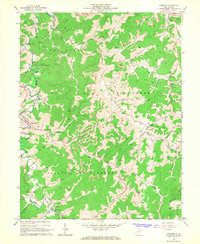
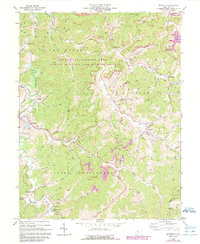
Editions of this 1966 Roanoke Map
3 editions found
Other maps of this area

1893 · Buckhannon
USGS Topo · 1:125,000

1893 · Sutton
USGS Topo · 1:125,000

1896 · Buckhannon
USGS Topo · 1:125,000

1897 · Buckhannon
USGS Topo · 1:125,000

1904 · Weston
USGS Topo · 1:62,500

1904 · Vadis
USGS Topo · 1:62,500

1906 · Burnsville
USGS Topo · 1:62,500

1912 · Crawford
USGS Topo · 1:48,000

1914 · Crawford
USGS Topo · 1:62,500

1925 · Burnsville
USGS Topo · 1:62,500