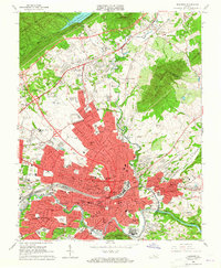
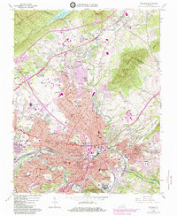
1963 Map of Roanoke
USGS Topo · Published 1965About this map
The Roanoke River valley is the focal point of this mid-century survey, showing the city's expansion during a period of significant postwar growth. The urban grid is dense with neighborhood schools and civic institutions, including Jefferson High Sch and several junior high facilities like Booker T Washington Jr High Sch and Lee Jr High Sch. The presence of numerous medical facilities, such as Lewis Gale Hospital and Shenandoah Hospital, underscores the city's role as a regional healthcare hub.
Find a feature on this map
95 named features on this map. Tap any name to fly to it.
Don’t see what you’re looking for? This feature index may not catch every label — zoom into the map to look around manually.
Map Details
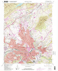
Editions of this 1963 Roanoke Map
6 editions found
Other maps of this area

1890 · Roanoke
USGS Topo · 1:125,000

1890 · Christiansburg
USGS Topo · 1:125,000

1891 · Roanoke
USGS Topo · 1:125,000

1929 · Roanoke
USGS Topo · 1:48,000

1929 · Salem
USGS Topo · 1:48,000

1932 · Salem
USGS Topo · 1:62,500

1933 · Roanoke
USGS Topo · 1:62,500

1947 · Roanoke
USGS Topo · 1:250,000

1950 · Elliston
USGS Topo · 1:62,500

1951 · Boones Mill
USGS Topo · 1:62,500