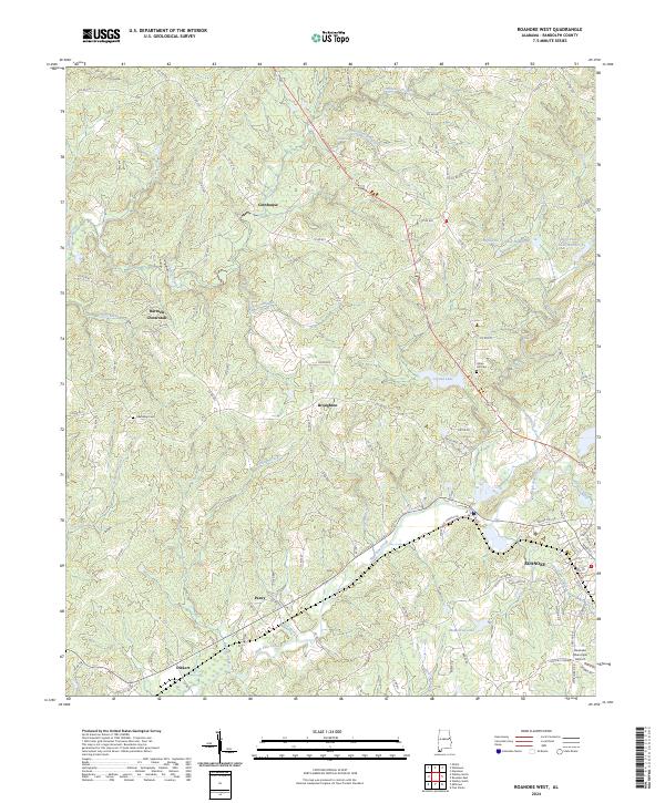
2024 Map of Roanoke West
USGS Topo · Published 2024About this map
Roanoke anchor this terrain in Randolph County, Alabama, where the city's residential streets give way to a landscape of creeks and small farming outposts. The western edge of town is marked by the Roanoke Municipal Airport and the waters of McMurray Lake, while the surrounding countryside is dotted with long-established communities like Cornhouse, Broughton, and Peavy. These settlements often cluster around junctions and churches, such as the Friendship Cem and Union Hill Cem, providing important landmarks for those tracing family history in the Alabama Piedmont.
Find a feature on this map
103 named features on this map. Tap any name to fly to it.
Don’t see what you’re looking for? This feature index may not catch every label — zoom into the map to look around manually.
Map Details
Editions of this 2024 Roanoke West Map
This is the sole edition of this map. No revisions or reprints were ever made.
Historical Maps of Peavy Through Time
16 maps found
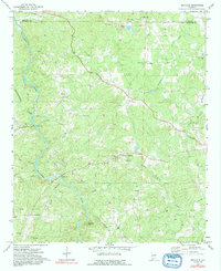
1969 Napoleon
Randolph County, AL
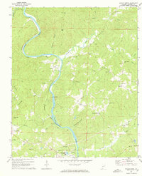
1969 Newell
Randolph County, AL
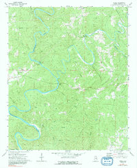
1969 Roanoke East
Randolph County, AL
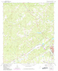
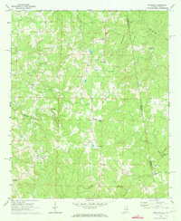
1969 Roanoke West
Randolph County, AL
1969 Wadley North
Randolph County, AL
1970 Micaville
Randolph County, AL
1970 Ofelia
Randolph County, AL
1975 Micaville
Randolph County, AL
1975 Newell
Randolph County, AL
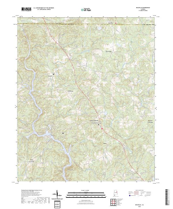
2024 Micaville
Randolph County, AL
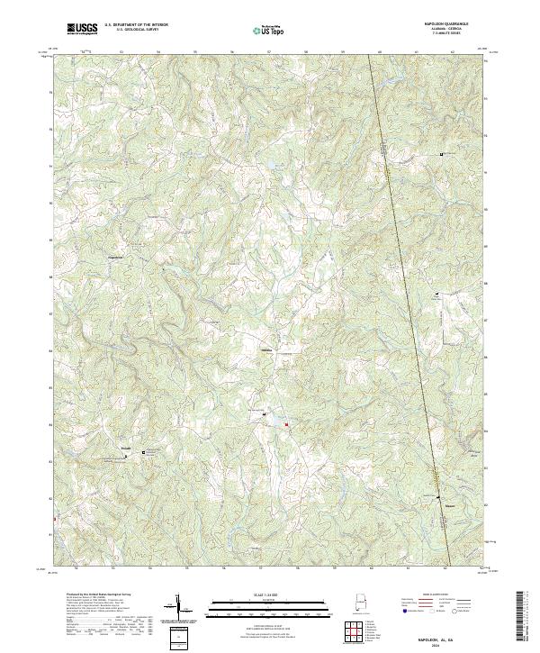
2024 Napoleon
Randolph County, AL
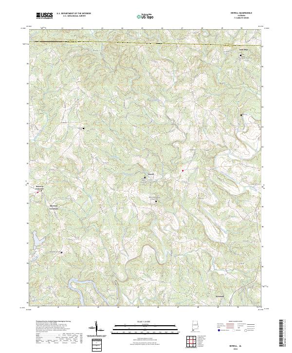
2024 Newell
Randolph County, AL
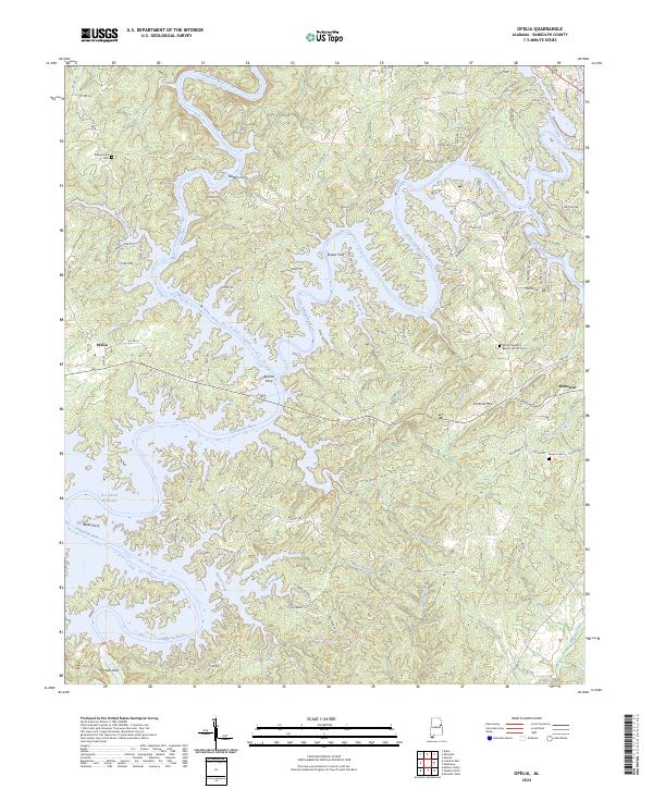
2024 Ofelia
Randolph County, AL
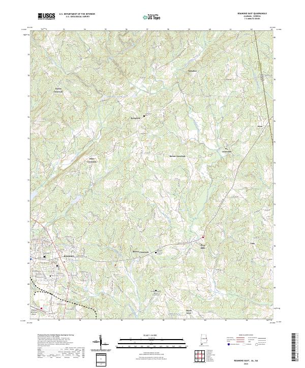
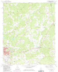
2024 Roanoke East
Randolph County, AL
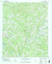
2024 Roanoke West
Randolph County, AL
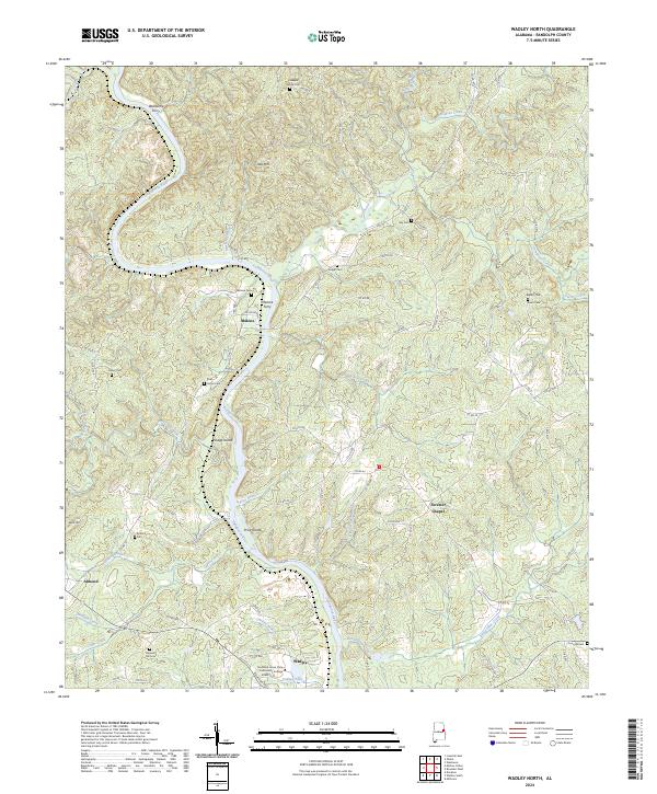
2024 Wadley North
Randolph County, AL