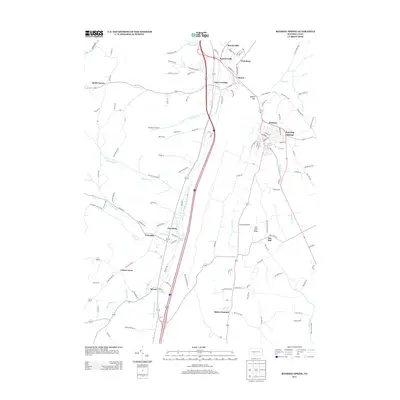
2013 Map of Roaring Spring
USGS Topo · Published 2013About this map
Roaring Spring and the Frankstown Br Juniata River valley define this central Pennsylvania landscape, where early 21st-century infrastructure follows the historic corridor between Altoona and Bedford. The map documents a dense network of smaller settlements such as East Freedom, Claysburg, and Bakers Summit, reflecting the region's long history of rural industry and agriculture. Distinctive landforms like McKee Gap and Ore Hill Ridge influence the local road network, while smaller water features like Weyant Spring and Boiling Spring Run suggest the carbonate geology that gave the primary town its name.
Find a feature on this map
139 named features on this map. Tap any name to fly to it.
Don’t see what you’re looking for? This feature index may not catch every label — zoom into the map to look around manually.
Map Details
Editions of this 2013 Roaring Spring Map
This is the sole edition of this map. No revisions or reprints were ever made.
Other maps of this area

1900 · Everett
USGS Topo · 1:62,500

1902 · Everett
USGS Topo · 1:62,500

1902 · Ebensburg
USGS Topo · 1:62,500

1902 · Hollidaysburg
USGS Topo · 1:62,500

1903 · Hollidaysburg
USGS Topo · 1:62,500

1904 · Ebensburg
USGS Topo · 1:62,500

1908 · Bedford
USGS Topo · 1:62,500

1910 · Bedford
USGS Topo · 1:62,500

1953 · Pittsburgh
USGS Topo · 1:250,000

1954 · Pittsburgh
USGS Topo · 1:250,000
Featured Places
- Roaring Spring, PA
- Rodman, Taylor Township
- Friesville, Greenfield Township
- Bakers Summit, Bloomfield Township
- Smith Corner, Freedom Township