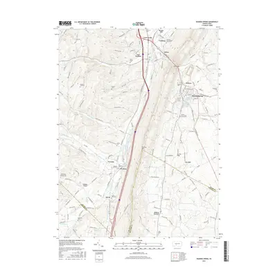
2016 Map of Roaring Spring
USGS Topo · Published 2016About this map
Roaring Spring and the surrounding Ridge-and-Valley province of central Pennsylvania are defined by the narrow corridor of the Frankstown Branch Juniata River and the prominent Dunning Mtn. This 2016 survey captures a landscape where industry and agriculture converge, with numerous small settlements like East Freedom, McKee, and Claysburg clustered along the major transit routes of Us HWY 220 and Old Us HWY 220. The map is particularly rich for genealogical research, documenting numerous small burial grounds and family plots such as Dodsons Graveyard, Feather Cem, and the Long Family Cem.
Find a feature on this map
134 named features on this map. Tap any name to fly to it.
Don’t see what you’re looking for? This feature index may not catch every label — zoom into the map to look around manually.
Map Details
Editions of this 2016 Roaring Spring Map
This is the sole edition of this map. No revisions or reprints were ever made.
Other maps of this area

1900 · Everett
USGS Topo · 1:62,500

1902 · Everett
USGS Topo · 1:62,500

1902 · Ebensburg
USGS Topo · 1:62,500

1902 · Hollidaysburg
USGS Topo · 1:62,500

1903 · Hollidaysburg
USGS Topo · 1:62,500

1904 · Ebensburg
USGS Topo · 1:62,500

1908 · Bedford
USGS Topo · 1:62,500

1910 · Bedford
USGS Topo · 1:62,500

1953 · Pittsburgh
USGS Topo · 1:250,000

1954 · Pittsburgh
USGS Topo · 1:250,000
Featured Places
- Roaring Spring, PA
- Rodman, Taylor Township
- Friesville, Greenfield Township
- Bakers Summit, Bloomfield Township
- Smith Corner, Freedom Township