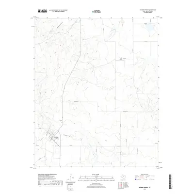
2019 Map of Roaring Springs
USGS Topo · Published 2019About this map
Roaring Springs serves as the focal point for this Motley County landscape, situated near the confluence of several natural water systems. The town’s grid, featuring streets such as Broadway and Walnut Ave, is tucked south of the winding Dutchman Cr and Shinnery Draw. The map documents a territory defined by its hydrologic network, including the flowing waters of Ballard Cr and McDonald Cr, alongside isolated water sources like Ballard Spring and Hackberry Spring.
Find a feature on this map
38 named features on this map. Tap any name to fly to it.
Don’t see what you’re looking for? This feature index may not catch every label — zoom into the map to look around manually.
Map Details
Editions of this 2019 Roaring Springs Map
This is the sole edition of this map. No revisions or reprints were ever made.
Other maps of this area

1954 · Lubbock
USGS Topo · 1:250,000

1954 · Plainview
USGS Topo · 1:250,000

1958 · Plainview
USGS Topo · 1:250,000

1966 · Matador
USGS Topo · 1:24,000

1966 · Ballard Camp
USGS Topo · 1:24,000

1967 · Whiteflat
USGS Topo · 1:24,000

1968 · Mac Bain
USGS Topo · 1:24,000

1968 · Roaring Springs
USGS Topo · 1:24,000

1968 · Russellville
USGS Topo · 1:24,000

1968 · Rustler Camp
USGS Topo · 1:24,000