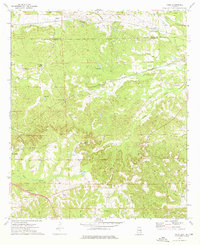
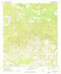
1973 Map of Roba
USGS Topo · Published 1976About this map
The boundary between Macon Co and Bullock Co divides this rural landscape, defined by a network of small agricultural settlements and rural congregations. Small communities such as Roba, Hannon, and Guerryton are linked by the Seaboard Coast Line and the Central of Georgia railroads, which cut through the undulating terrain. Local life is anchored by numerous country churches and cemeteries, including Mt Moriah Ch and the Kendrick Cem.
Find a feature on this map
39 named features on this map. Tap any name to fly to it.
Don’t see what you’re looking for? This feature index may not catch every label — zoom into the map to look around manually.
Map Details
Editions of this 1973 Roba Map
2 editions found
Other maps of this area

1955 · Phenix City
USGS Topo · 1:250,000

1957 · Phenix City
USGS Topo · 1:250,000

1958 · Phenix City
USGS Topo · 1:250,000
1973 · Comer
USGS Topo · 1:24,000
1973 · Hurtsboro
USGS Topo · 1:24,000
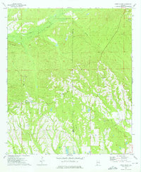
1973 · Creek Stand
USGS Topo · 1:24,000
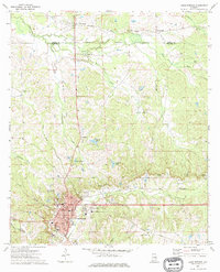
1973 · Union Springs
USGS Topo · 1:24,000
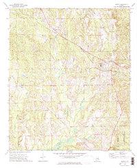
1973 · Midway
USGS Topo · 1:24,000
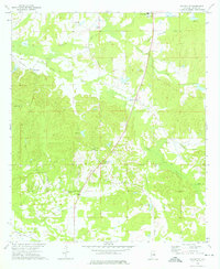
1973 · Davisville
USGS Topo · 1:24,000
1973 · Warriorstand
USGS Topo · 1:24,000