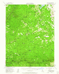
1952 Map of Robbs Peak
USGS Topo · Published 1961About this map
The High Sierra of El Dorado County in the early 1950s is defined here by a network of remote ranching camps and historic waypoints along the South Fork Rubicon River. Long-standing landmarks like Uncle Toms Cabin and the Van Vleck Ranch anchor the landscape, while the southern edge follows the developed corridor of the American River near Kyburz. This era predates the full expansion of modern reservoirs, showing Loon Lake and its surrounding drainages such as Bassi Creek and Tells Creek in their mid-century state.
Find a feature on this map
114 named features on this map. Tap any name to fly to it.
Don’t see what you’re looking for? This feature index may not catch every label — zoom into the map to look around manually.
Map Details
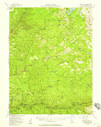
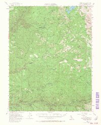
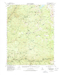
Editions of this 1952 Robbs Peak Map
4 editions found
Other maps of this area

1889 · Pyramid Peak
USGS Topo · 1:125,000

1891 · Colfax
USGS Topo · 1:125,000

1891 · Truckee
USGS Topo · 1:125,000

1891 · Placerville
USGS Topo · 1:125,000

1891 · Pyramid Peak
USGS Topo · 1:125,000

1892 · Placerville
USGS Topo · 1:125,000

1892 · Colfax
USGS Topo · 1:125,000

1893 · Placerville
USGS Topo · 1:125,000

1893 · Truckee
USGS Topo · 1:125,000

1894 · Colfax
USGS Topo · 1:125,000