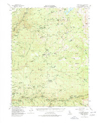
1952 Map of Robbs Peak
USGS Topo · Published 1976About this map
Uncle Toms Cabin and the surrounding high country of the Eldorado National Forest define this mid-century look at the western slopes of the Sierra Nevada. The map captures an era of active forest management and early recreation, evidenced by numerous fire watch outposts like the Robbs Peak Lookout and Big Hill Lookout. The landscape is etched with the infrastructure of water and power, from the Georgetown Divide Ditch in the north to the El Dorado Flume tracing the canyon of the South Fork American River in the south. Small mountain communities and stops like Kyburz and Riverton serve as anchors along the trans-sierra corridor, while deep-woods locations such as Jones Place, Raffetto, and Millionaire Camp speak to the region's historic cattle ranching and logging roots. The map also records early educational sites for these isolated areas, including the Big Bend School and Silver Fork School.
Find a feature on this map
115 named features on this map. Tap any name to fly to it.
Don’t see what you’re looking for? This feature index may not catch every label — zoom into the map to look around manually.
Map Details
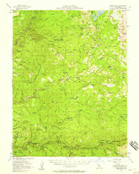
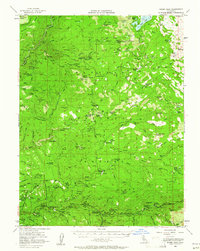
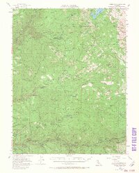
Editions of this 1952 Robbs Peak Map
4 editions found
Other maps of this area

1889 · Pyramid Peak
USGS Topo · 1:125,000

1891 · Colfax
USGS Topo · 1:125,000

1891 · Truckee
USGS Topo · 1:125,000

1891 · Placerville
USGS Topo · 1:125,000

1891 · Pyramid Peak
USGS Topo · 1:125,000

1892 · Placerville
USGS Topo · 1:125,000

1892 · Colfax
USGS Topo · 1:125,000

1893 · Placerville
USGS Topo · 1:125,000

1893 · Truckee
USGS Topo · 1:125,000

1894 · Colfax
USGS Topo · 1:125,000