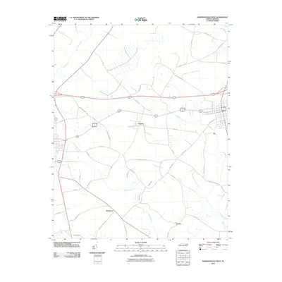
2010 Map of Robersonville West
USGS Topo · Published 2010About this map
The town of Parmele serves as a central hub in this eastern North Carolina landscape, where the agricultural grid is defined by a complex network of slow-moving water and local roads. The terrain is characterized by expansive wetlands and drainage patterns, including the prominent Flat Swamp and Briery Swamp, which flow toward Tranters Creek. These natural features have long dictated the placement of settlements and transport routes in Pitt County.
Find a feature on this map
33 named features on this map. Tap any name to fly to it.
Don’t see what you’re looking for? This feature index may not catch every label — zoom into the map to look around manually.
Map Details
Editions of this 2010 Robersonville West Map
This is the sole edition of this map. No revisions or reprints were ever made.
Other maps of this area

1901 · Parmele
USGS Topo · 1:62,500

1901 · Williamston
USGS Topo · 1:62,500

1902 · Williamston
USGS Topo · 1:62,500

1902 · Parmele
USGS Topo · 1:62,500

1903 · Winterville
USGS Topo · 1:62,500

1903 · Chocowinity
USGS Topo · 1:62,500

1905 · Chocowinity
USGS Topo · 1:62,500

1905 · Winterville
USGS Topo · 1:62,500

1953 · Rocky Mount
USGS Topo · 1:250,000

1954 · Rocky Mount
USGS Topo · 1:250,000