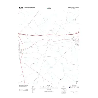
2013 Map of Robersonville West
USGS Topo · Published 2013About this map
Robersonville and Bethel anchor this landscape in Pitt and Martin Counties, showing the modern road network and agricultural layout of eastern North Carolina. The town of Parmele sits at a central rail junction point, a historical nod to the area's development as a transportation hub between larger settlements. The terrain is defined by a complex system of slow-moving water, including the extensive Briery Swamp and Flat Swamp, which drain into Tranters Cr and Grindle Creek.
Find a feature on this map
72 named features on this map. Tap any name to fly to it.
Don’t see what you’re looking for? This feature index may not catch every label — zoom into the map to look around manually.
Map Details
Editions of this 2013 Robersonville West Map
This is the sole edition of this map. No revisions or reprints were ever made.
Other maps of this area

1901 · Parmele
USGS Topo · 1:62,500

1901 · Williamston
USGS Topo · 1:62,500

1902 · Williamston
USGS Topo · 1:62,500

1902 · Parmele
USGS Topo · 1:62,500

1903 · Winterville
USGS Topo · 1:62,500

1903 · Chocowinity
USGS Topo · 1:62,500

1905 · Chocowinity
USGS Topo · 1:62,500

1905 · Winterville
USGS Topo · 1:62,500

1953 · Rocky Mount
USGS Topo · 1:250,000

1954 · Rocky Mount
USGS Topo · 1:250,000