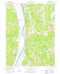
1958 Map of Robertsburg
USGS Topo · Published 1977About this map
The Kanawha River serves as the central artery for this portion of Mason and Putnam Counties, where the Conrail railroad tracks trace the eastern bank through riverbank settlements like Grimms Landing and Robertsburg. The landscape is defined by deep incisions from Thirteenmile Creek and Eighteenmile Creek, creating a series of high ridges like Calispell Ridge and Wildcat Ridge. This topographical complexity dictated the placement of early community centers, with many rural landmarks appearing at the headwaters of these drainages.
Find a feature on this map
65 named features on this map. Tap any name to fly to it.
Don’t see what you’re looking for? This feature index may not catch every label — zoom into the map to look around manually.
Map Details
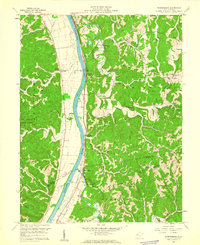
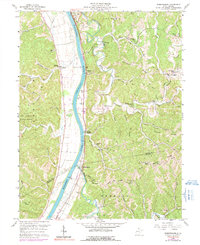
Editions of this 1958 Robertsburg Map
Other maps of this area

1906 · Glenwood
USGS Topo · 1:62,500

1906 · Winfield
USGS Topo · 1:62,500

1908 · Glenwood
USGS Topo · 1:62,500

1908 · Winfield
USGS Topo · 1:62,500

1908 · Ravenswood
USGS Topo · 1:62,500

1908 · Point Pleasant
USGS Topo · 1:62,500

1926 · Ravenswood
USGS Topo · 1:62,500

1926 · Point Pleasant
USGS Topo · 1:62,500

1928 · Ravenswood
USGS Topo · 1:62,500

1929 · Point Pleasant
USGS Topo · 1:62,500