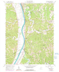
1958 Map of Robertsburg
USGS Topo · Published 1991About this map
The Kanawha River serves as the central artery for this mid-century survey, dividing the flat valley bottomlands from the dissected ridges of Mason and Putnam Counties. Riverside settlements like Grimms Landing and Robertsburg are clustered along the Conrail rail line, which hugs the eastern bank. To the west, the expansive Chief Cornstalk Hunting Grounds dominates the higher elevations of Buckle Ridge. The map detail reveals a deeply rural landscape of hollows and ridges, where community life centered on locations such as Harmony Ch and Arbuckle Sch. Small-scale resource extraction is evident through scattered Gas Well and Oil Well sites tucked into the winding drainages of Thirteenmile Creek and Eighteenmile Creek. Local genealogists will find value in the many family-named landmarks and small burial grounds including Douglas Cem and Atkeson Cem.
Find a feature on this map
71 named features on this map. Tap any name to fly to it.
Don’t see what you’re looking for? This feature index may not catch every label — zoom into the map to look around manually.
Map Details
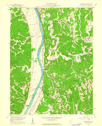
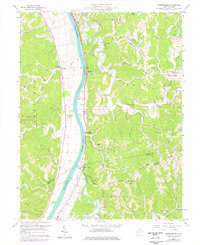
Editions of this 1958 Robertsburg Map
Other maps of this area

1906 · Glenwood
USGS Topo · 1:62,500

1906 · Winfield
USGS Topo · 1:62,500

1908 · Glenwood
USGS Topo · 1:62,500

1908 · Winfield
USGS Topo · 1:62,500

1908 · Ravenswood
USGS Topo · 1:62,500

1908 · Point Pleasant
USGS Topo · 1:62,500

1926 · Ravenswood
USGS Topo · 1:62,500

1926 · Point Pleasant
USGS Topo · 1:62,500

1928 · Ravenswood
USGS Topo · 1:62,500

1929 · Point Pleasant
USGS Topo · 1:62,500