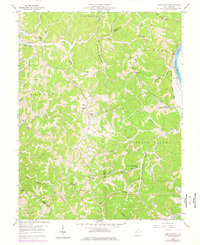
1958 Map of Mount Olive
USGS Topo · Published 1977About this map
The Teays Valley floor and the hills of the Kanawha River basin define this West Virginia landscape, spanning the intersection of Mason, Putnam, and Cabell counties. Rural life in the mid-20th century centered on dispersed hilltop settlements and creek-bottom homesteads, connected by routes like Evergreen Road and Stave Branch Road. The mapping reveals a high density of small-scale community infrastructure, including numerous family or church-affiliated burial grounds such as Ball Chapel Cem and the Meadows Cem.
Find a feature on this map
50 named features on this map. Tap any name to fly to it.
Don’t see what you’re looking for? This feature index may not catch every label — zoom into the map to look around manually.
Map Details
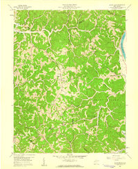
Editions of this 1958 Mount Olive Map
2 editions found
Other maps of this area

1892 · Huntington
USGS Topo · 1:125,000

1898 · Huntington
USGS Topo · 1:125,000

1899 · Charleston
USGS Topo · 1:125,000

1902 · Milton
USGS Topo · 1:62,500

1906 · Glenwood
USGS Topo · 1:62,500

1906 · Winfield
USGS Topo · 1:62,500

1908 · Glenwood
USGS Topo · 1:62,500

1908 · Winfield
USGS Topo · 1:62,500

1909 · Saint Albans
USGS Topo · 1:62,500

1931 · Saint Albans
USGS Topo · 1:62,500