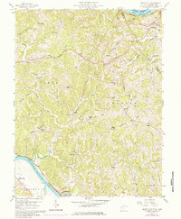
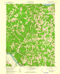
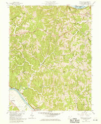
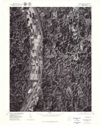
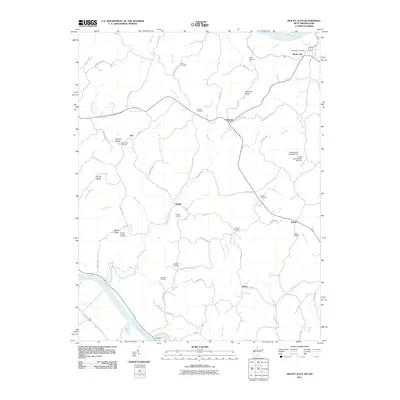
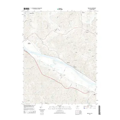
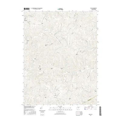
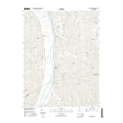
1958 Map of Mount Alto
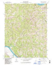
USGS Topo · Published 1984About this map
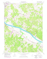
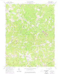
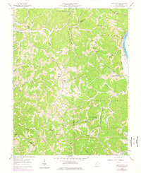
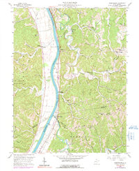
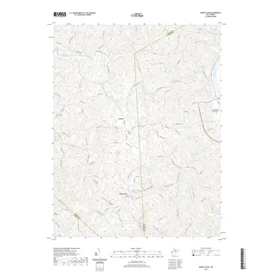
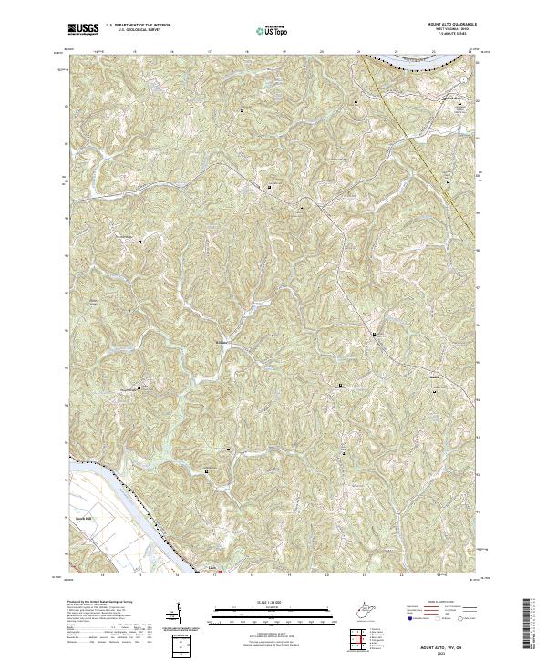
Davies Grove and Mt Moriah Ch anchor the high ground of northern Mason County in this mid-century survey, which reveals a landscape of ridge-top settlements and winding creek valleys. The terrain is defined by prominent features like Chestnut Ridge and Thomas Ridge, where small community centers such as Mount Alto and Rollins served the local population. Educational and spiritual life was decentralized across the hills, evidenced by numerous small institutions including Mountain Flower Sch and Mt Olive Ch.
Find a feature on this map
57 named features on this map. Tap any name to fly to it.
Don’t see what you’re looking for? This feature index may not catch every label — zoom into the map to look around manually.
Map Details
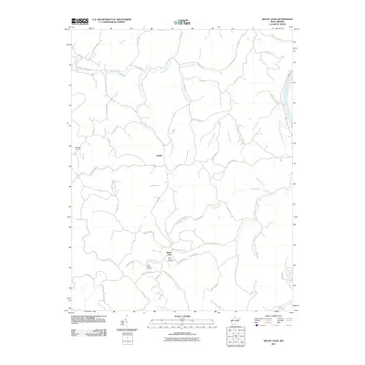
Editions of this 1958 Mount Alto Map
4 editions found

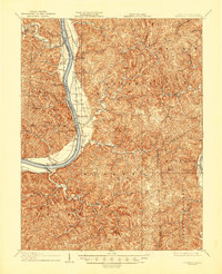
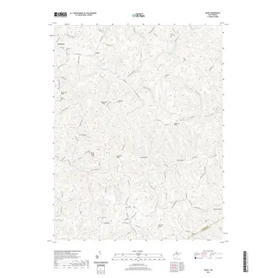
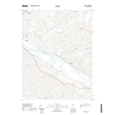
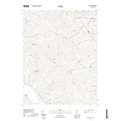
Historical Maps of Leon Through Time
34 maps found

1906 Glenwood
Mason County, WV
1908 Glenwood
Mason County, WV
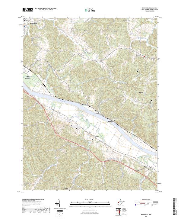
1957 Beech Hill
Mason County, WV
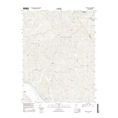
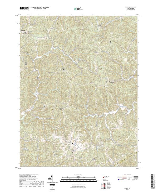
1958 Arlee
Mason County, WV
1958 Mount Alto
Mason County, WV
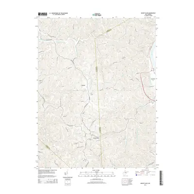
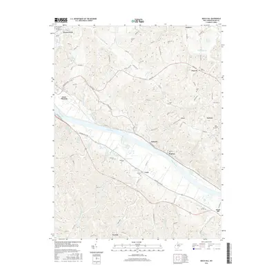
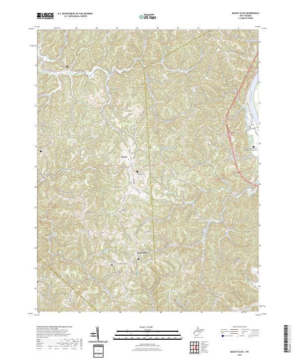
1958 Mount Olive
Mason County, WV
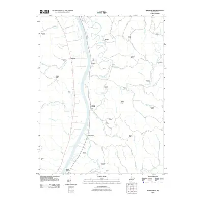
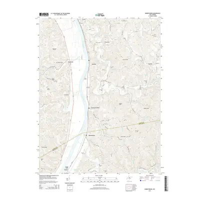
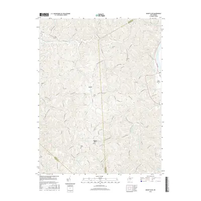
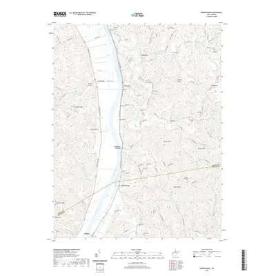
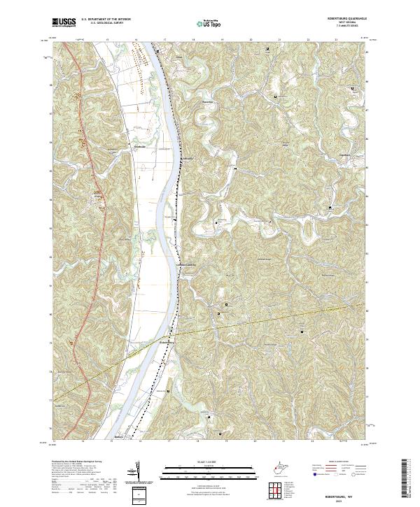
1958 Robertsburg
Mason County, WV
1977 Robertsburg
Mason County, WV
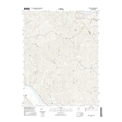
1994 Mount Alto
Mason County, WV
2011 Arlee
Mason County, WV
2011 Beech Hill
Mason County, WV
2011 Mount Alto
Mason County, WV
2011 Mount Olive
Mason County, WV
2011 Robertsburg
Mason County, WV
2014 Arlee
Mason County, WV
2014 Beech Hill
Mason County, WV
2014 Mount Alto
Mason County, WV
2014 Mount Olive
Mason County, WV
2014 Robertsburg
Mason County, WV
2016 Arlee
Mason County, WV
2016 Beech Hill
Mason County, WV
2016 Mount Alto
Mason County, WV
2016 Mount Olive
Mason County, WV
2016 Robertsburg
Mason County, WV
2019 Arlee
Mason County, WV
2019 Beech Hill
Mason County, WV
2019 Mount Alto
Mason County, WV
2019 Mount Olive
Mason County, WV
2019 Robertsburg
Mason County, WV
2023 Arlee
Mason County, WV
2023 Beech Hill
Mason County, WV
2023 Mount Alto
Mason County, WV
2023 Mount Olive
Mason County, WV
2023 Robertsburg
Mason County, WV