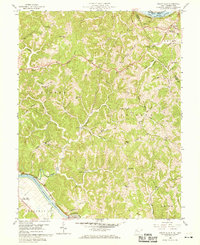
1958 Map of Mount Alto
USGS Topo · Published 1969About this map
Mount Alto and Baden anchor the ridges of Mason and Jackson counties in this late 1950s survey, illustrating a landscape defined by its proximity to major river arteries. The north is bordered by the Ohio River and the Baltimore and Ohio railroad, while the Kanawha River cuts through the southwest near Leon, followed by the New York Central tracks. Between these rivers, the terrain is a dense network of ridges like Chestnut Ridge and Thomas Ridge, where life centered around small country schools and churches. Genealogists will find numerous family-named landmarks and burial grounds, including the Sayre Cem, Ward Cem, and Jenkins Cem. The presence of scattered Gas Wells and Oil Wells across the hills reveals the early energy industry that shared this space with established settlements like Beech Hill (Southside PO).
Find a feature on this map
60 named features on this map. Tap any name to fly to it.
Don’t see what you’re looking for? This feature index may not catch every label — zoom into the map to look around manually.
Map Details
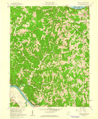
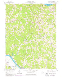
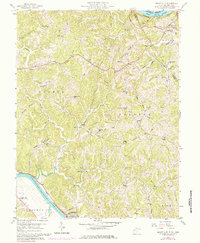
Editions of this 1958 Mount Alto Map
4 editions found
Other maps of this area

1906 · Glenwood
USGS Topo · 1:62,500

1906 · Winfield
USGS Topo · 1:62,500

1908 · Glenwood
USGS Topo · 1:62,500

1908 · Winfield
USGS Topo · 1:62,500

1908 · Ravenswood
USGS Topo · 1:62,500

1908 · Point Pleasant
USGS Topo · 1:62,500

1926 · Ravenswood
USGS Topo · 1:62,500

1926 · Point Pleasant
USGS Topo · 1:62,500

1928 · Ravenswood
USGS Topo · 1:62,500

1929 · Point Pleasant
USGS Topo · 1:62,500