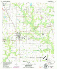
1980 Map of Robertsdale
USGS Topo · Published 1986About this map
Robertsdale and the surrounding Baldwin County agricultural landscape are captured during a period of infrastructure expansion in the early 1980s. The map illustrates the convergence of local life and military presence, notably at the OLF Summerdale US Naval Res in the southern portion of the sheet. The drainage patterns of the Blackwater River and its tributaries, including Milk Mill Creek and Rock Creek, dictate the placement of local cemeteries and community centers such as Coopers Cem and Rosinton Ch.
Find a feature on this map
39 named features on this map. Tap any name to fly to it.
Don’t see what you’re looking for? This feature index may not catch every label — zoom into the map to look around manually.
Map Details
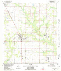
Editions of this 1980 Robertsdale Map
2 editions found
Other maps of this area

1920 · Robertsdale
USGS Topo · 1:62,500

1921 · Bon Secour
USGS Topo · 1:62,500

1921 · Point Clear
USGS Topo · 1:62,500

1921 · Fairhope
USGS Topo · 1:62,500

1940 · Silverhill
USGS Topo · 1:31,680

1941 · Silverhill
USGS Topo · 1:31,680

1941 · Robertsdale
USGS Topo · 1:62,500

1941 · Foley
USGS Topo · 1:62,500

1941 · Weeks Bay
USGS Topo · 1:62,500

1941 · Fairhope
USGS Topo · 1:62,500