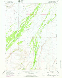
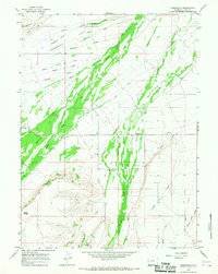
1964 Map of Robertson
USGS Topo · Published 1979About this map
The small settlement of Robertson serves as the focal point of this southwestern Wyoming landscape, situated where the high plains meet the intricate water management systems of Uinta County. Agricultural development is evident through an extensive network of irrigation features including the Pine Grove Canal, Lambs Canal, and several named water courses like the Davis and Company Ditch. These man-made channels diverge from the natural flows of Blacks Fork and Smiths Fork, illustrating the region's reliance on diverted water for ranching and farming on Nebraska Flat.
Find a feature on this map
29 named features on this map. Tap any name to fly to it.
Don’t see what you’re looking for? This feature index may not catch every label — zoom into the map to look around manually.
Map Details
Editions of this 1964 Robertson Map
2 editions found
Other maps of this area

1954 · Ogden
USGS Topo · 1:250,000

1958 · Ogden
USGS Topo · 1:250,000

1960 · Ogden
USGS Topo · 1:250,000

1964 · Fort Bridger
USGS Topo · 1:24,000

1964 · Mountain View
USGS Topo · 1:24,000
1964 · Table Mountain
USGS Topo · 1:24,000
1964 · Leavitt Bench
USGS Topo · 1:24,000
1964 · Buck Fever Ridge
USGS Topo · 1:24,000
1964 · Robertson
USGS Topo · 1:24,000

1965 · Leroy
USGS Topo · 1:24,000