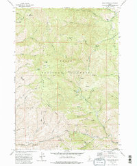
1972 Map of Robie Creek
USGS Topo · Published 1985About this map
The Boise Ridge dominates this 1970s landscape, serving as a natural divider between the high country and the developing outskirts of the state capital. Resource extraction and high-altitude access are evident throughout the Boise National Forest, marked by the presence of the Bumblebee Mine and scattered Prospect sites near Ashton. Transportation through this steep terrain relies on a network of primitive routes, including the Bogus Basin Road and numerous unnamed Jeep Trails that connect prominent lookouts like Little Deer Point and Lower Point.
Find a feature on this map
51 named features on this map. Tap any name to fly to it.
Don’t see what you’re looking for? This feature index may not catch every label — zoom into the map to look around manually.
Map Details
Editions of this 1972 Robie Creek Map
2 editions found
Other maps of this area

1892 · Boise
USGS Topo · 1:125,000

1894 · Idaho Basin
USGS Topo · 1:125,000

1897 · Boise
USGS Topo · 1:125,000

1949 · Robie Creek
USGS Topo · 1:24,000

1954 · Boise South
USGS Topo · 1:24,000

1954 · Boise North
USGS Topo · 1:24,000

1954 · Boise
USGS Topo · 1:62,500

1955 · Hailey
USGS Topo · 1:250,000

1955 · Boise
USGS Topo · 1:250,000

1957 · Cartwright Canyon
USGS Topo · 1:24,000