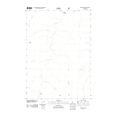
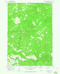
2011 Map of Robinson Bar
USGS Topo · Published 2011About this map
Robinson Bar sits along a northern bend of the Salmon River, serving as a focal point for this drainage network in Custer County. The landscape is defined by its verticality and water resources, ranging from high points like Robinson Bar Peak and Watson Peak to the deep depressions of Iron Basin. Numerous tributaries, including Warm Springs Creek, Prospect Creek, and Slate Creek, feed into the river system, carving out narrow corridors that have historically dictated movement through this part of Idaho.
Find a feature on this map
21 named features on this map. Tap any name to fly to it.
Don’t see what you’re looking for? This feature index may not catch every label — zoom into the map to look around manually.
Map Details
Editions of this 2011 Robinson Bar Map
This is the sole edition of this map. No revisions or reprints were ever made.
Other maps of this area

1919 · Custer
USGS Topo · 1:125,000

1922 · Custer
USGS Topo · 1:125,000

1957 · Challis
USGS Topo · 1:250,000

1960 · Challis
USGS Topo · 1:250,000

1963 · Challis
USGS Topo · 1:250,000

1963 · Casino Lakes
USGS Topo · 1:24,000
1963 · Obsidian
USGS Topo · 1:24,000
1964 · Robinson Bar
USGS Topo · 1:24,000
1964 · Boulder Chain Lakes
USGS Topo · 1:24,000
1964 · East Basin Creek
USGS Topo · 1:24,000