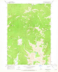
1964 Map of Robinson Bar
USGS Topo · Published 1965About this map
Robinson Bar sits at the northern edge of this high-elevation wilderness where the Salmon River cuts through the canyon. The landscape is dominated by the steep ascent toward Robinson Bar Peak and the formidable White Cloud Peaks to the south. This 1960s survey captures a network of alpine drainage systems, including Warm Springs Creek and Slate Creek, which feed into the river valley.
Find a feature on this map
25 named features on this map. Tap any name to fly to it.
Don’t see what you’re looking for? This feature index may not catch every label — zoom into the map to look around manually.
Map Details
Editions of this 1964 Robinson Bar Map
2 editions found
Other maps of this area

1919 · Custer
USGS Topo · 1:125,000

1922 · Custer
USGS Topo · 1:125,000

1957 · Challis
USGS Topo · 1:250,000

1960 · Challis
USGS Topo · 1:250,000

1963 · Challis
USGS Topo · 1:250,000

1963 · Casino Lakes
USGS Topo · 1:24,000
1963 · Obsidian
USGS Topo · 1:24,000
1964 · Boulder Chain Lakes
USGS Topo · 1:24,000
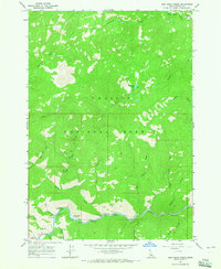
1964 · East Basin Creek
USGS Topo · 1:24,000
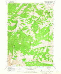
1964 · Livingston Creek
USGS Topo · 1:24,000