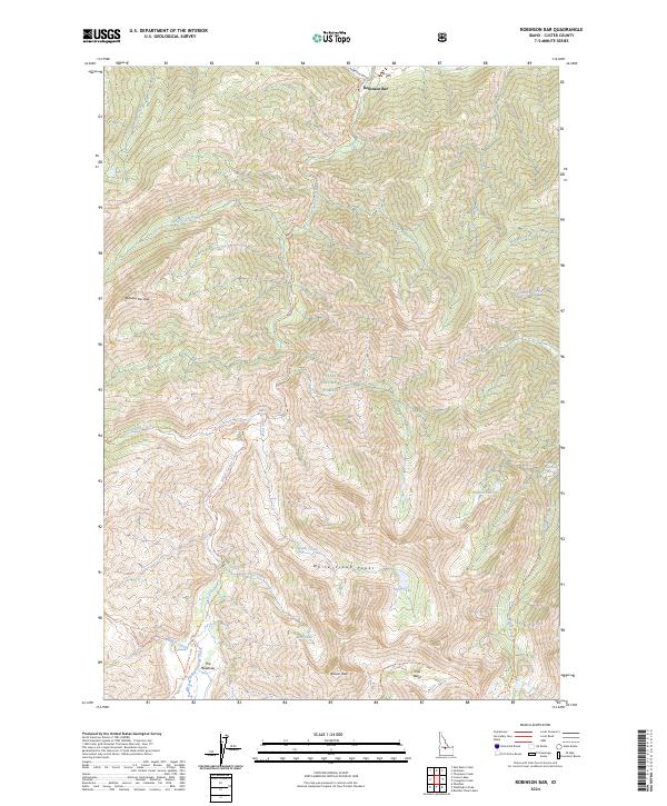
2024 Map of Robinson Bar
USGS Topo · Published 2024About this map
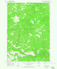
Robinson Bar and the surrounding high-altitude wilderness are meticulously documented in this modern survey of the Challis National Forest. The map captures a high-elevation landscape defined by the White Cloud Peaks and the White Clouds Wilderness, showing the intricate network of drainage systems including Warm Springs Creek and Slate Creek. Of particular interest to local historians is the Slate Creek Hot Spring and the small settlement at The Meadows. This edition provides a detailed look at the backcountry infrastructure, from the Robinson Bar Rd to remote paths like the Garland Creek Trl and Martin-Big Casino Trl. The map preserves the geography of this remote Idaho territory, illustrating the relationship between high alpine basins like Iron Basin and the numerous small lakes such as Hoodoo Lake and Swim Lake.
Find a feature on this map
37 named features on this map. Tap any name to fly to it.
Don’t see what you’re looking for? This feature index may not catch every label — zoom into the map to look around manually.
Map Details
Editions of this 2024 Robinson Bar Map
This is the sole edition of this map. No revisions or reprints were ever made.
Other maps of this area

1919 · Custer
USGS Topo · 1:125,000

1922 · Custer
USGS Topo · 1:125,000

1957 · Challis
USGS Topo · 1:250,000

1960 · Challis
USGS Topo · 1:250,000

1963 · Challis
USGS Topo · 1:250,000

1963 · Casino Lakes
USGS Topo · 1:24,000
1963 · Obsidian
USGS Topo · 1:24,000
1964 · Robinson Bar
USGS Topo · 1:24,000
1964 · Boulder Chain Lakes
USGS Topo · 1:24,000
1964 · East Basin Creek
USGS Topo · 1:24,000