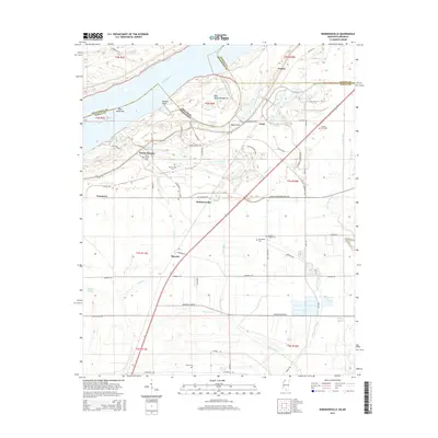
2015 Map of Robinsonville
USGS Topo · Published 2015About this map
The Mississippi River forms a complex boundary between Arkansas and Mississippi in this portion of the Delta, where the landscape is defined by its relation to the water and the levees. The growth of Tunica Resorts and the extension of corridors like Southern Celebration Hwy and Casino Strip Resort Blvd Ext illustrate the modern transition of this agricultural region into a major gaming and tourism destination. Traditional small settlements like Robinsonville and Commerce remain anchored to the landscape, surrounded by a network of drainage bayous such as Indian Cr, Herron Bayou, and Floyd Bayou.
Find a feature on this map
71 named features on this map. Tap any name to fly to it.
Don’t see what you’re looking for? This feature index may not catch every label — zoom into the map to look around manually.
Map Details
Editions of this 2015 Robinsonville Map
This is the sole edition of this map. No revisions or reprints were ever made.
Other maps of this area

1908 · Hollywood
USGS Topo · 1:24,000

1908 · Lake Cormorant
USGS Topo · 1:24,000

1912 · Lake Cormorant
USGS Topo · 1:31,680

1913 · Hollywood
USGS Topo · 1:31,680

1931 · Horseshoe Lake
USGS Topo · 1:62,500

1932 · Horn Lake
USGS Topo · 1:48,000

1932 · Crenshaw
USGS Topo · 1:62,500

1935 · Crenshaw
USGS Topo · 1:62,500

1935 · Horn Lake
USGS Topo · 1:62,500

1939 · Clayton
USGS Topo · 1:62,500