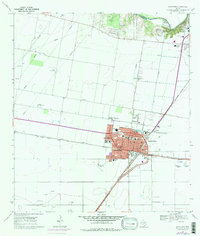
1969 Map of Robstown
USGS Topo · Published 1977About this map
Robstown serves as a major agricultural and transportation hub in Nueces County during the late 1960s, defined by the crossing of the Missouri Pacific and Texas Mexican railroads. The town's infrastructure supports a complex social and industrial landscape, featuring the Robstown Labor Camp, the Robstown Riverside Hospital, and the Robstown Community Hall. Residential expansion is evident in the western neighborhood of San Pedro, while several local schools like St Anthony Sch and Martin Sch anchor the community's blocks.
Find a feature on this map
36 named features on this map. Tap any name to fly to it.
Don’t see what you’re looking for? This feature index may not catch every label — zoom into the map to look around manually.
Map Details
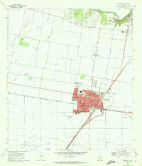
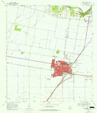
Editions of this 1969 Robstown Map
3 editions found
Other maps of this area

1924 · Petronilla
USGS Topo · 1:62,500

1925 · Robstown
USGS Topo · 1:62,500

1950 · Corpus Christi
USGS Topo · 1:250,000

1954 · Orange Grove
USGS Topo · 1:62,500

1954 · Robstown
USGS Topo · 1:62,500

1954 · Kingsville
USGS Topo · 1:62,500

1954 · Petronila
USGS Topo · 1:62,500

1956 · Corpus Christi
USGS Topo · 1:250,000

1960 · Corpus Christi
USGS Topo · 1:250,000

1966 · Corpus Christi
USGS Topo · 1:250,000