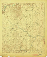
1893 Map of Roby
USGS Topo · Published 1903About this map
Roby serves as the central hub of this West Texas frontier landscape, surveyed just before the turn of the century as the region transitioned into organized ranching and farming. The terrain is defined by the winding course of the Clear Fork of Brazos River and the Mountain Fork, which carve through a series of canyons and draws like White Canyon. Small, remote outposts such as Hitson, Swedonia, and Taopi appear as isolated settlements across the broad reaches of the Rolling Plains, connected only by winding wagon roads.
Find a feature on this map
43 named features on this map. Tap any name to fly to it.
Don’t see what you’re looking for? This feature index may not catch every label — zoom into the map to look around manually.
Map Details
Editions of this 1893 Roby Map
4 editions found
Other maps of this area

1890 · Abilene
USGS Topo · 1:125,000

1891 · Anson
USGS Topo · 1:125,000

1892 · Abilene
USGS Topo · 1:125,000

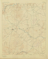
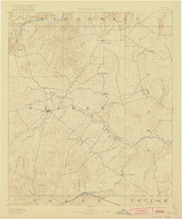
1893 · Roby
USGS Topo · 1:125,000

1893 · Anson
USGS Topo · 1:125,000

1893 · Sweetwater
USGS Topo · 1:125,000

1926 · Snyder 1-a
USGS Topo · 1:48,000

1926 · Roby 2-b
USGS Topo · 1:48,000

1931 · Rotan
USGS Topo · 1:62,500

1931 · Aspermont
USGS Topo · 1:62,500