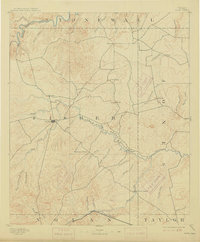
1893 Map of Roby
USGS Topo · Published 1915About this map
Roby serves as a central hub in this western Texas landscape, surveyed just as the region’s ranching and rail identities were solidifying. The Clear Fork of Brazos River and the Double Mountain Fork snake across the northern and central sections, carving out a drainage network that includes California Creek and Sandy Creek. The southern edge of the map is defined by the Texas and Pacific railroad, which provided a vital connection for early settlements like Eskota.
Find a feature on this map
45 named features on this map. Tap any name to fly to it.
Don’t see what you’re looking for? This feature index may not catch every label — zoom into the map to look around manually.
Map Details
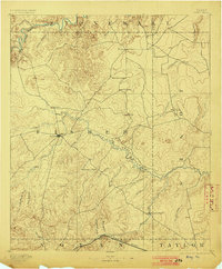
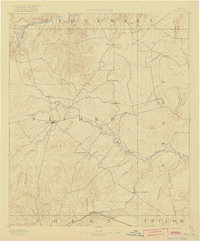
Editions of this 1893 Roby Map
4 editions found
Other maps of this area

1890 · Abilene
USGS Topo · 1:125,000

1891 · Anson
USGS Topo · 1:125,000

1892 · Abilene
USGS Topo · 1:125,000

1893 · Roby
USGS Topo · 1:125,000

1893 · Anson
USGS Topo · 1:125,000

1893 · Sweetwater
USGS Topo · 1:125,000

1926 · Snyder 1-a
USGS Topo · 1:48,000

1926 · Roby 2-b
USGS Topo · 1:48,000

1931 · Rotan
USGS Topo · 1:62,500

1931 · Aspermont
USGS Topo · 1:62,500