
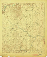
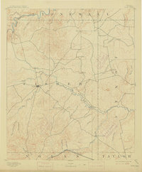
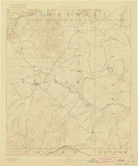
1893 Map of Roby
USGS Topo · Published 1893About this map
Roby serves as a central hub in this West Texas survey, conducted during a period of early settlement across the Rolling Plains. The landscape is defined by the winding course of the Clear Fork of Brazos River and a network of ephemeral creeks like Alkali Creek and Sandy Creek. In the late nineteenth century, small community centers such as Swedonia, Taopi, and Neinda dotted the cattle country, long before later oil discoveries or the expansion of regional highways.
Find a feature on this map
43 named features on this map. Tap any name to fly to it.
Don’t see what you’re looking for? This feature index may not catch every label — zoom into the map to look around manually.
Map Details
Editions of this 1893 Roby Map
4 editions found
Other maps of this area

1890 · Abilene
USGS Topo · 1:125,000

1891 · Anson
USGS Topo · 1:125,000

1892 · Abilene
USGS Topo · 1:125,000

1893 · Anson
USGS Topo · 1:125,000

1893 · Sweetwater
USGS Topo · 1:125,000

1926 · Snyder 1-a
USGS Topo · 1:48,000

1926 · Roby 2-b
USGS Topo · 1:48,000

1931 · Rotan
USGS Topo · 1:62,500

1931 · Aspermont
USGS Topo · 1:62,500

1932 · Camp Springs
USGS Topo · 1:62,500