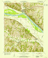
1952 Map of Rocheport
USGS Topo · Published 1953About this map
The Missouri River dominates the central landscape of this 1952 survey, carving a wide valley between the bluffs of Boone and Cooper counties. Along the northern bank, the historic river town of Rocheport sits at the junction of the Missouri Kansas Texas railroad and Moniteau Creek, reflecting an era where rail and river traffic intersected. To the south, the Missouri Pacific line skirts the bluffs near Overton, tracing the edge of the floodplains protected by an extensive network of levees.
Find a feature on this map
34 named features on this map. Tap any name to fly to it.
Don’t see what you’re looking for? This feature index may not catch every label — zoom into the map to look around manually.
Map Details
Editions of this 1952 Rocheport Map
4 editions found
Other maps of this area

1886 · Jefferson City
USGS Topo · 1:125,000

1888 · Boonville
USGS Topo · 1:125,000

1890 · Moberly
USGS Topo · 1:125,000

1890 · Glasgow
USGS Topo · 1:125,000

1894 · Jefferson City
USGS Topo · 1:125,000

1917 · Sturgeon
USGS Topo · 1:62,500

1947 · Jefferson City
USGS Topo · 1:250,000

1948 · Columbia
USGS Topo · 1:62,500

1950 · Columbia
USGS Topo · 1:62,500

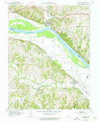
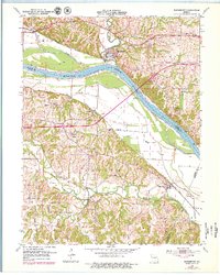
1952 · Rocheport
USGS Topo · 1:24,000