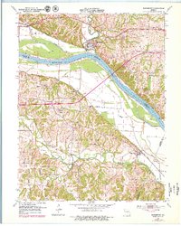
1952 Map of Rocheport
USGS Topo · Published 1979About this map
The Missouri River defines the geography of this mid-century landscape, carving a wide valley between the bluffs of Boone and Cooper counties. On the north bank, the historic river town of Rocheport sits at the mouth of Moniteau Creek, while the village of Overton occupies the opposite shore. The 1970s updates reveal the progress of modern infrastructure, specifically the path of Interstate 70 crossing the valley, yet the map remains a vital record of an older agrarian era. Local history is preserved in the locations of Highland School and Linden School, alongside rural landmarks like the Gooch Mill Church and Copp Chapel. Further south, the Petite Saline Creek winds through the township of Wooldridge, tracing a drainage network that supported 19th-century settlements like Gooch Mill. The topographic detail highlights the river's influence on the terrain, from the Rocheport Cave to the series of levees protecting the low-lying agricultural bottoms.
Find a feature on this map
39 named features on this map. Tap any name to fly to it.
Don’t see what you’re looking for? This feature index may not catch every label — zoom into the map to look around manually.
Map Details
Editions of this 1952 Rocheport Map
4 editions found
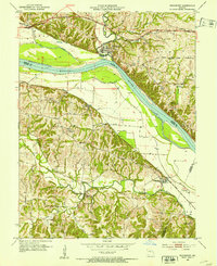
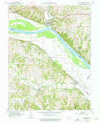
Other maps of this area

1886 · Jefferson City
USGS Topo · 1:125,000

1888 · Boonville
USGS Topo · 1:125,000

1890 · Moberly
USGS Topo · 1:125,000

1890 · Glasgow
USGS Topo · 1:125,000

1894 · Jefferson City
USGS Topo · 1:125,000

1917 · Sturgeon
USGS Topo · 1:62,500

1947 · Jefferson City
USGS Topo · 1:250,000

1948 · Columbia
USGS Topo · 1:62,500

1950 · Columbia
USGS Topo · 1:62,500

1952 · Rocheport
USGS Topo · 1:24,000