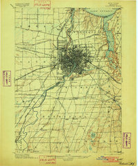
1898 Map of Rochester
USGS Topo · Published 1901About this map
The Genesee River serves as the central artery for this late-19th-century industrial and transportation hub, dividing the dense urban grid of Rochester before flowing north into Lake Ontario. This period captures a complex logistics network where the storied Erie Canal intersects with a massive concentration of rail lines, including the New York Central and Hudson River R. R. and the Lehigh Valley R. R. (Rochester Br.).
Find a feature on this map
76 named features on this map. Tap any name to fly to it.
Don’t see what you’re looking for? This feature index may not catch every label — zoom into the map to look around manually.
Map Details
Editions of this 1898 Rochester Map
5 editions found
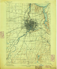
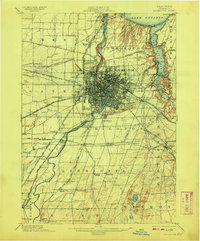
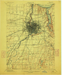
Other maps of this area

1895 · Rochester
USGS Topo · 1:62,500

1895 · Ontario Beach
USGS Topo · 1:62,500

1898 · Rochester
USGS Topo · 1:62,500

1899 · Hamlin
USGS Topo · 1:62,500

1899 · Ontario Beach
USGS Topo · 1:62,500

1899 · Brockport
USGS Topo · 1:62,500

1900 · Macedon
USGS Topo · 1:62,500

1900 · Canandaigua
USGS Topo · 1:62,500

1901 · Honeoye
USGS Topo · 1:62,500

1903 · Canandaigua
USGS Topo · 1:62,500