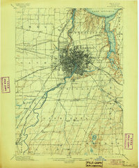
1898 Map of Rochester
USGS Topo · Published 1905About this map
The Genesee River and the Erie Canal intersect at the heart of Rochester, defining a landscape where industrial transit and natural geography collided at the end of the nineteenth century. This era shows the city's dense urban grid expanding toward Lake Ontario via the Genesee Valley Canal R.R. and several branches of the New York Central and Hudson River R.R. The map documents the intricate rail network necessary to support the milling and manufacturing of the region, including connections at Genesee Junction and West Shore Junction.
Find a feature on this map
86 named features on this map. Tap any name to fly to it.
Don’t see what you’re looking for? This feature index may not catch every label — zoom into the map to look around manually.
Map Details
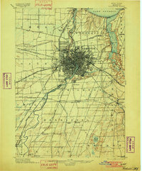
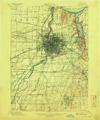
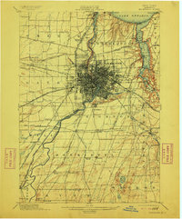
Editions of this 1898 Rochester Map
5 editions found
Other maps of this area

1895 · Rochester
USGS Topo · 1:62,500

1895 · Ontario Beach
USGS Topo · 1:62,500

1898 · Rochester
USGS Topo · 1:62,500

1899 · Hamlin
USGS Topo · 1:62,500

1899 · Ontario Beach
USGS Topo · 1:62,500

1899 · Brockport
USGS Topo · 1:62,500

1900 · Macedon
USGS Topo · 1:62,500

1900 · Canandaigua
USGS Topo · 1:62,500

1901 · Honeoye
USGS Topo · 1:62,500

1903 · Canandaigua
USGS Topo · 1:62,500