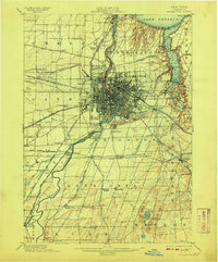
1898 Map of Rochester
USGS Topo · Published 1908About this map
The Genesee River serves as the central artery for this late 19th-century landscape, flowing through the heart of Rochester toward its outlet at Charlotte on Lake Ontario. This era represents a peak for the region's transport network, where the historic Erie Canal arcs across the map to meet a dense web of steam and electric rail lines. To the east, the deep incision of Irondequoit Bay and the Irondequoit River provide a stark contrast to the gridded urban core, showing the resort-heavy shoreline near Glen Haven and Lake Beach.
Find a feature on this map
77 named features on this map. Tap any name to fly to it.
Don’t see what you’re looking for? This feature index may not catch every label — zoom into the map to look around manually.
Map Details
Editions of this 1898 Rochester Map
5 editions found
Other maps of this area

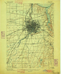
1895 · Rochester
USGS Topo · 1:62,500

1895 · Ontario Beach
USGS Topo · 1:62,500

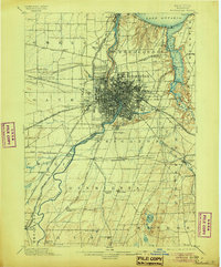
1898 · Rochester
USGS Topo · 1:62,500

1899 · Hamlin
USGS Topo · 1:62,500

1899 · Ontario Beach
USGS Topo · 1:62,500

1899 · Brockport
USGS Topo · 1:62,500

1900 · Macedon
USGS Topo · 1:62,500

1900 · Canandaigua
USGS Topo · 1:62,500

1901 · Honeoye
USGS Topo · 1:62,500

1903 · Canandaigua
USGS Topo · 1:62,500